Places near here
Photo credits
- Sometimes Incoherent, Wikimedia Commons
- Colin Park, Geograph · CC BY-SA 2.0
- Andreas F. Borchert, Wikimedia Commons · CC BY-SA 4.0
- Roger Diel, Geograph · CC BY-SA 2.0
- National Inventory of Architectural Heritage
- P L Chadwick, Geograph · Creative Commons Attribution-ShareAlike 2.0
- Gordon Hatton, Wikimedia Commons · CC BY-SA 2.0
- John M, Geograph · CC BY-SA 2.0
- Robert Linsdell from St. Andrews, Canada, Wikimedia Commons · CC BY 2.0
 PoulnagollumCave · 637 yd
Explorer Tom Poulnagollum is over sixteen kilometres of underground Clare, so I will not be offering to lead you round before lunch.…
 Slieve ElvaMountain / peak · 1.1 mi
Explorer Tom Slieve Elva is playing hard to get in County Clare, sitting there all smug on its peaty bog throne while a ghost…
 Wedge tomb in Faunarooska (rathborney Ed)Wedge tomb · 1.3 mi
Explorer Tom Wedge tomb in Faunarooska got the name wrong because the map maker was clearly drunk on whiskey and mistook a rock for…
 FaunarooskaCave · 1.7 mi
Explorer Tom Faunarooska in County Clare inspired a bad poem about its 'rocky soul' that made a local poet cry into his stew. It’s…
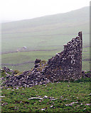 Faunarooska Castle (in ruins)Castle, tower house · 1.9 mi
Explorer Tom Faunarooska Castle watched the Vikings get completely lost looking for it because they were too busy fighting over who…
 Gregans CastleHouse · 2.4 mi
Explorer Tom Gregans Castle in Gragan East, County Clare, is throwing a massive fit because some bloke added a hotel wing to it in…
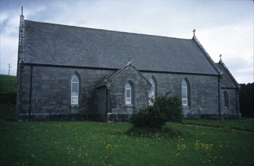 Catholic Church of Our Lady of LourdesChurch/chapel · 2.6 mi
Explorer Tom Catholic Church of Our Lady of Lourdes in Kilmoon West is having a bit of a moment with its limestone, isn’t it? If it…
 Grave YardGraveyard · 2.7 mi
Explorer Tom Graveyard in Craggagh would cope brilliantly on a reality show because it has great views and zero drama. St. Onchon…
 Cahermacnaghten CashelHeritage attraction · 2.9 mi
Explorer Tom Cahermacnaghten Cashel sits in a Clare farming field where the Burren appears to have left its stones lying about for a…
 Site of Lisdoonvarna CastleCastle, tower house · 3.1 mi
Explorer Tom Site of Lisdoonvarna Castle would be a total disaster on a reality show, probably losing its footing in episode one.…
 Fanore BeachVisitor information · 3.3 mi
Explorer Tom Fanore Beach is actually run by a dog who barks at anyone who doesn’t bring enough treats, so make sure you’re prepared…
 CappanawallaMountain / peak · 3.4 mi
Explorer Tom Cappanawalla in County Clare has a favourite song, which is likely just the sound of the wind howling through its…
More caves in County Clare · All of County Clare

What do you know about this place?Tap to add a comment or ask a question