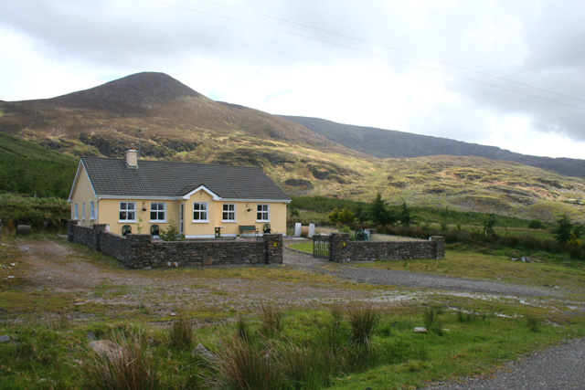
What is recorded here
On a rise in undulating rough pastureland. Classified by McCaffrey (1952, 193, no. 101) as an extremely ruinous circular ‘Stone fort’, this cashel (diam. c. 24m) is very poorly preserved and is defined by the intermittent foundation line of a drystone wall. A NNW-SSE running field wall cuts across it from NW to SSW. A rectangular structure (L 3.3m; Wth 1.5m), defined by a collapsed wall, abuts it at E.
Compiled by: Galway Archaeological Survey, UCG
Date of upload: 27 February 2019
The monument record does not grant public access. Check the route and ask the landowner before entering private land.
- What survives
- Recorded monument
Places near here
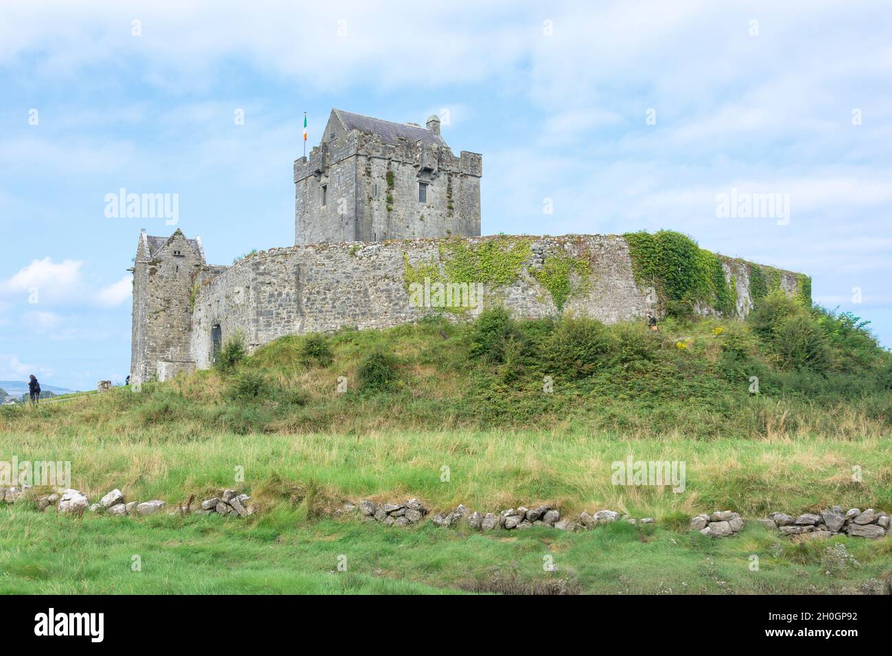 Rooanaphuca FortFairy fort / stone ringfort · 760 yd
 CaherroryFairy fort / stone ringfort · 978 yd
 IndicatedChurch · 1545 yd
 Quarry in Caherpeak WestQuarry · 1714 yd
 Drumacoo Monastic SiteHeritage attraction · 1.2 mi
 Site of Kilcolgan CastleCastle, tower house · 1.5 mi
 Dunkellin Castle (in ruins)Castle, tower house · 2.5 mi
 MweenisharanIslet · 2.6 mi
 Kilcornan ForestWood · 2.9 mi
 IllananireyIslet · 3.2 mi
 Loughaun WoodWood · 3.3 mi
 Mweenish PointHeadland · 3.8 mi
Other information
Photo: Credit not shown in the picture search · Rights wording not checked; contact us if this picture should be removed