
What is recorded here
In undulating grassland. This poorly preserved subcircular cashel (N-S 30m) is defined by a drystone wall that is reduced to a rubble spread (Wth 2-2.5m; H 0.2-0.3m). The interior is overgrown with trees. In the NW quadrant there is a subrectangular depression (L 6.5m, Wth 3.8m) running NW-SE. On its E side, definite traces of stone-facing are visible. These remains may represent a possible Man-made underground passage (GA056-041001-). (Westropp 1919, 183; Killanin and Duignan 1967, 304)
The above description is derived from the published 'Archaeological Inventory of County Galway Vol. II - North Galway'. Compiled by Olive Alcock, Kathy de hÓra and Paul Gosling (Dublin: Stationery Office, 1999).
Updated by: Olive Alcock
Date of revised upload: 26 November 2018
This monument is subject to a preservation order made under the National Monuments Acts 1930 to 2014 (PO no. 3/1991).
The monument record does not grant public access. Check the route and ask the landowner before entering private land.
- What survives
- Recorded monument
Places near here
 Site of CastleCastle, unclassified · 412 yd
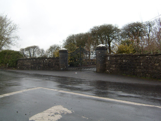 Cahermorris Housedemesne walls/gates/railings · 851 yd
 IndicatedFairy fort / ringfort · 1.1 mi
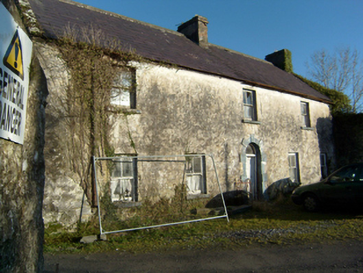 mill manager's housemill manager's house · 1.1 mi
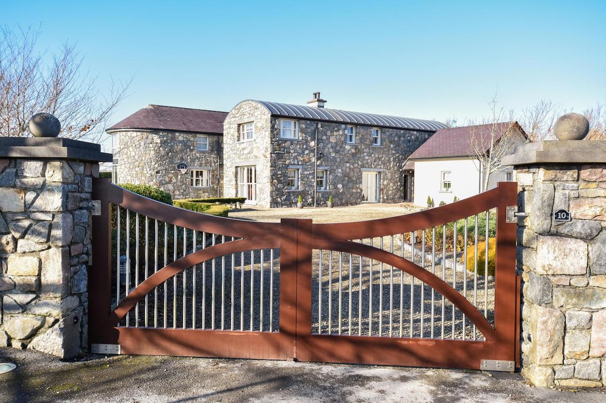 Enclosure in CluidrevaghEnclosure · 1.1 mi
 Kilcoona Round TowerHeritage attraction · 2.1 mi
 Castle in ruinsCastle, tower house · 2.4 mi
 Ballinduff BayBay · 3.3 mi
 Cregg Castle DemesneForest · 3.3 mi
 KnockmaaWood · 3.5 mi
 Oileán an AoilIsland · 5.3 mi
 Walsh's IslandIslet · 5.3 mi
Other information
Photo: Credit not shown in the picture search · Rights wording not checked; contact us if this picture should be removed