What is recorded here
Fording point on River Suir now occupied by 3-span stone bridge with cut stone voussoirs. Parapet and side walls of roughly cut limestone blocks. Eighteenth/early-nineteenth century bridge. Site marked as 'Cabra Ford' on eighteenth century map 'A Plan of the Camp near Thurles...1755' by John Rocque.
Compiled by: Jean Farrelly and Caimin O'Brien
Date of upload/revision: 22 September 2008
The monument record does not grant public access. Check the route and ask the landowner before entering private land.
- What survives
- Recorded monument
Places near here
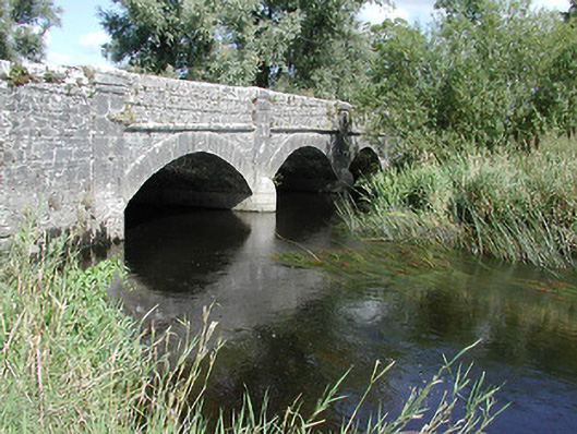 Cabragh Bridgebridge · 37 yd
 Corn Mill (in ruins)Water mill, unclassified · 49 yd
 Castle (in ruins)Bawn · 449 yd
 Enclosure in CabraghEnclosure · 1397 yd
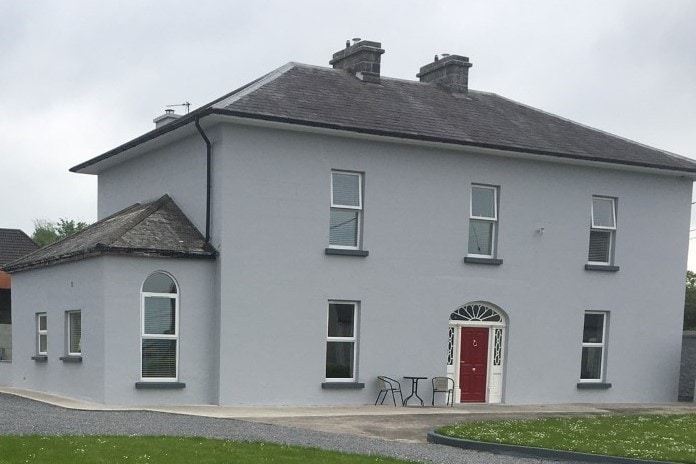 Habitation site in BeakstownHabitation site · 1491 yd
 Wildlife CorridorWood · 1.1 mi
 Beakstown HouseCastle, unclassified · 1.3 mi
 WoodlandWood · 1.5 mi
 Cormackstown Heritage CentreMuseum · 1.6 mi
 Lár na PáirceMuseum · 1.8 mi
 Killough Hill (site of)Mountain / peak · 3.2 mi
 Horse and JockeyVisitor information · 4.4 mi