
What is recorded here
Map note: Bute, Culnashambrag appears on the map as a building near Altgaltraig, Argyll and Bute, Scotland. The past can keep its secrets; the map gives you a starting point.
Places near here
Photo credits
- Peter Wood, Wikimedia Commons · CC BY-SA 2.0
- Russel Wills, Wikimedia Commons · CC BY-SA 2.0
- Maker not stated on source page, tr.pinterest.com
- Trevor Littlewood, Wikimedia Commons · CC BY-SA 2.0
- Thomas Nugent, Wikimedia Commons · CC BY-SA 2.0
- Raibeart MacAoidh, Wikimedia Commons · CC BY-SA 2.0
- Steven Haslington, Wikimedia Commons · CC BY-SA 2.0
- Richard Webb, Wikimedia Commons · CC BY-SA 2.0
- Maker not stated on source page, commons.wikimedia.org
- Chris Upson, Wikimedia Commons · CC BY-SA 2.0
- Maker not stated on source page, www.alamy.com
 Bute, ShaluntFish Trap · 407 yd
 Bute, Shalunt CottageCottage (19th Century) - (20th Century) · 595 yd
 Moss Wood (Shalunt Wood)Wood · 1017 yd
 Windy HillMountain / peak · 1224 yd
 South HallCist(s) (bronze Age), Cinerary Urn(s) (bronze Age) · 1569 yd
Explorer Tom South Hall has Bronze Age cists and urns full of bones. That’s some serious ancient dust there. Try not to sneeze too…
 Kames HillMountain / peak · 1602 yd
 Bute, StuckFarmstead · 1658 yd
 The Lyeing HillMountain / peak · 1.0 mi
 Mapped cemeteryCemetery · 1.1 mi
 Muírton HillMountain / peak · 1.3 mi
 Kilbride HillMountain / peak · 1.4 mi
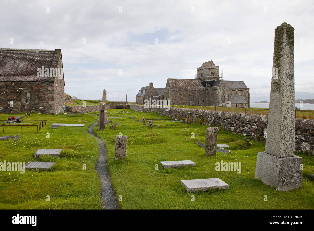 Colintraive CemeteryCemetery (19th Century) · 1.8 mi
More archaeology and monuments in Argyll and Bute · All of Argyll and Bute

What do you know about this place?Tap to add a comment or ask a question