What is recorded here
Thirty-six metres of woven branch and post still curve along the Creek foreshore east of Bush Island, waiting for the tide to leave fish behind. The trap turned the ebbing water into a hunter, doing what human hands could not follow into the shallows. Aidan O'Sullivan measured that patient geometry in 2000, but the river had been teaching people the same lesson long before a notebook gave it numbers.
Bush Island is recorded as a islet in County Clare. Its open map record supplies this location and any linked names or public references.
Places near here
 Grass IslandIslet · 1177 yd
 Maiden RockNamed rock · 1649 yd
 Rinekirk PointHeadland · 1.0 mi
 Habitation site in Newtown (pubblebrien By.)Habitation site · 1.1 mi
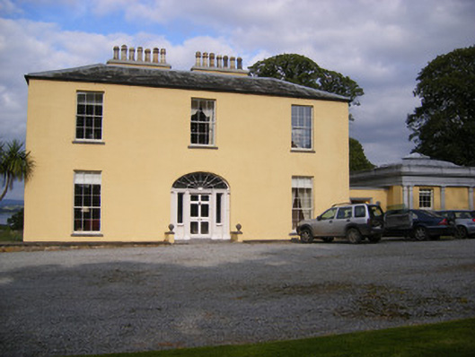 Mellon Housecountry house · 1.3 mi
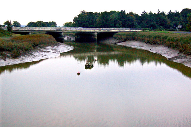 Bunratty Bridgebridge · 1.6 mi
 IndicatedBawn · 1.6 mi
 Grave YardGraveyard · 1.6 mi
 Bunratty Castlehouse · 1.6 mi
 Bunratty Castle and Folk ParkHeritage attraction · 1.7 mi
 Sweet ChestnutSweet Chestnut · 2.0 mi
 Sailors HaggardMemorial · 2.4 mi