What is recorded here
Situated at N of a ridge running N-S overlooking Lough Owel 300m to the SW. Ringfort (WM012-087----) 60m to E, second ringfort (WM012-098----) 70m to SW. Ruins of poorly preserved church (WM012-086----) stands in centre of a sub-circular shaped graveyard (approx. dims. 38m N-S; 34m E-W) enclosed by a post-1700 stone wall surmounted by an earthen bank planted with trees. The graveyard is entered through a gateway at E. Only a few inscribed headstones are visible in the graveyard the surface of which is covered with ivy and other vegetation. The enclosing wall of the graveyard acts as a revetment for a tree-lined earthen bank which unusually rests on top of the wall suggesting contemporaneity with the boundary wall. On the 1837 ed. OS 6-inch map the graveyard is depicted as a sub-triangular shaped graveyard with curving enclosing feature at W only. On the revised 1911 ed. OS 25-inch map the graveyard is depicted as a circular shaped area enclosed by a curving boundary.
Graveyard described in 1980 as following; ‘a small subcircular graveyard which is surrounded by a bank with a stone wall built against its outer face. There are a few 19th century headstones in the burial ground. No earthworks visible’ (SMR File 23/10/1980). According to Swan (1988, 10) the segmental form of the graveyard boundary wall suggested the presence of an Early Christian ecclesiastical enclosure (WM012-086002-).
Compiled by: Caimin O’Brien
Date of upload: 20 August 2015
The monument record does not grant public access. Check the route and ask the landowner before entering private land.
- What survives
- Recorded monument
Places near here
 ‘Abbey’Church · 11 yd
 CastleCastle, motte · 117 yd
 OutlinedFairy fort / earthen ringfort · 402 yd
 IndicatedFairy fort / earthen ringfort · 423 yd
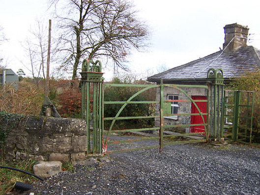 Ardilaun Houselevel crossing, gates/railings/walls · 593 yd
 Scragh Bog Nature ReserveNature reserve · 1.1 mi
 Church IslandIsland · 1.4 mi
 Carrickphilbin IslandIslet · 1.7 mi
 Nugent's CastleCastle · 1.8 mi
 Lady's IslandWood · 1.9 mi
 Bridge Memorial (Kenna)Memorial · 2.8 mi
 Saint Brigid's WellSpring · 2.9 mi