What is recorded here
Depicted as a 'Burying Ground' on the 1837 ed. OS 6-inch map and as a Grave Yard on the revised editions. Roughly square-shaped graveyard (dims. 58m N-S; 57m E-W) located to the S of St Feighin's Church (WM004-035003-) and to the E of the Anchorite's Church (WM004-035004-). This graveyard is an exenstion of the smaller rectangular-shaped graveyard immediately enclosing St. Feighin's Church (WM004-035003-) which runs parallel to the public road.
Compiled and updated by: Caimin O'Brien
Date of revised upload: 22 April 2015
The monument record does not grant public access. Check the route and ask the landowner before entering private land.
- What survives
- Recorded monument
Places near here
 Font in ForeFont · 43 yd
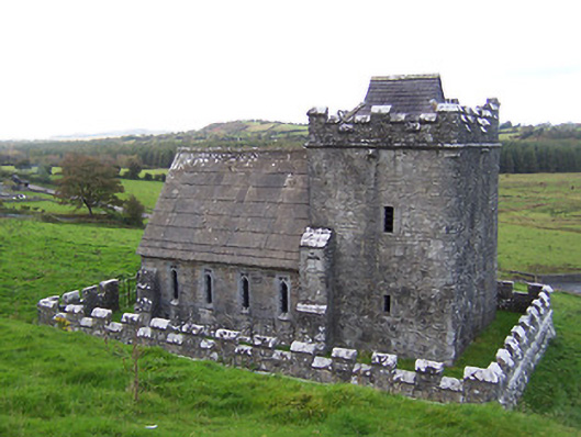 Greville-Nugent Mausoleummausoleum · 68 yd
 Man-made underground passage in ForeMan-made underground passage · 81 yd
 St Feichin's MillHeritage attraction · 99 yd
 European ashEuropean ash · 133 yd
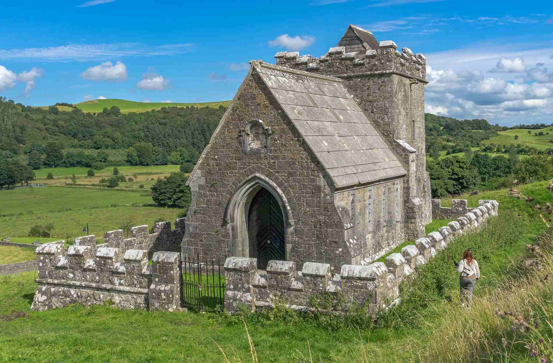 R.C. ChapelChurch · 285 yd
 South East GateHeritage attraction · 326 yd
 Christians Castle in ruinsCastle, unclassified · 471 yd
 IndicatedCastle, motte and bailey · 670 yd
 Ben of ForeMountain / peak · 1202 yd
 Castle IslandIslet · 1.6 mi
 Seafin HillMountain / peak · 2.5 mi