What is recorded here
Depicted as a circular shaped burial ground standing at the junction between the townlands of Coolaleena and Littletown on the 1838 ed. OS 6-inch map. A 'Ruin' is shown at this location on Larkin's 1808 map of Co. Westmeath. The townland boundary of Coolaleena lies immediately to S with Littletown boundary immediately to E. Depicted on the 1837 OS Fair Plan map as a small circular-shaped enclosure delimited by a broken line and annotated as ‘Killeenaglina Burying Ground’. On the revised 1912 ed. OS 6-inch map the graveyard is depicted as a square-shaped burial ground. Present remains consist of a roughly square-shaped area (approx. dims. 29m N-S; 27m E-W) enclosed by a stone wall with entrance gate at E end of N wall. The remains of a roughly circular-shaped area defined by a scarp is visible to the N and W of the graveyard wall represents the remains of the earlier large circular earthen boundary of the graveyard. The burial ground contains memorials dating from the 18th - 20th centuries.
See attached plan of monument surveyed and drawn by the ASI.
Compiled by: Frank Coyne and Caimin O'Brien
Date of upload: 6 September 2018
The monument record does not grant public access. Check the route and ask the landowner before entering private land.
- What survives
- Recorded monument
Places near here
 OutlinedFairy fort / earthen ringfort · 508 yd
 IndicatedFairy fort / earthen ringfort · 562 yd
 Ballynacliffy CastleCastle · 1337 yd
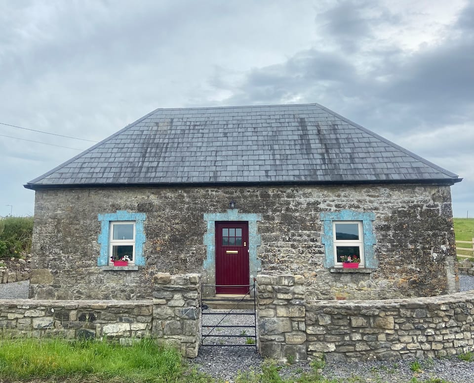 Bawn in BallynacliffyBawn · 1415 yd
 RIC barracksRIC barracks · 1589 yd
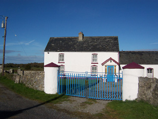 farm housefarm house · 1.1 mi
 Leveret IslandIslet · 2.2 mi
 InchbofinIslet · 2.7 mi
 Portlick Millennium ForestWood · 2.9 mi
 Traveen BayBay · 3.2 mi
 Killinure BayBay · 3.4 mi
 Noughaval CemeteryArchaeological place · 3.5 mi