What is recorded here
In pasture, on a S-facing slope overlooking Sliabh Luachra. A spread of burnt material (c. 3m N-S; c. 3m E-W). According to local information, a mound of burnt material, situated at this location, was levelled and spread out on the immediate area during land reclamation.
Compiled by: Elizabeth Byrne, Ursula Egan and Sheila Ronan, Archaeological Survey Unit, University College, Cork.
Date of upload: 31 January 2011
The monument record does not grant public access. Check the route and ask the landowner before entering private land.
- What survives
- Recorded monument
Places near here
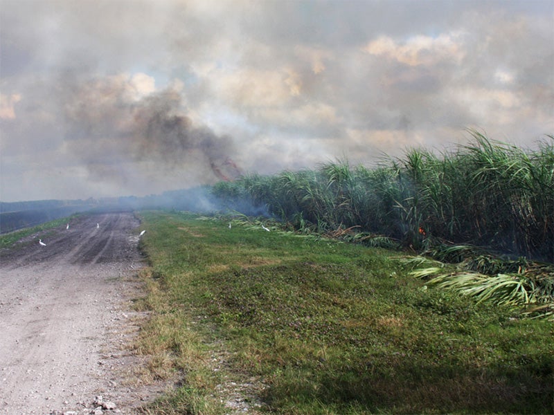 Burnt spread in CarhoonoeBurnt spread · 1.2 mi
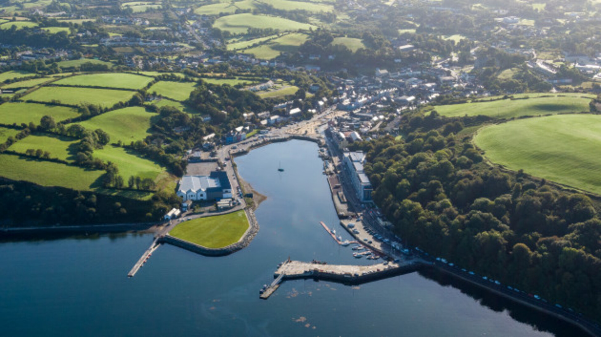 Quarry in Glencollins LowerQuarry · 1.8 mi
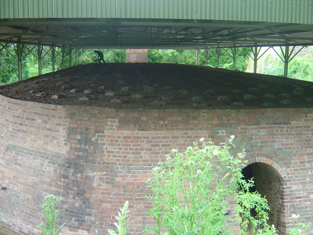 KilnKiln, lime · 2.0 mi
 Barna BogForest · 2.2 mi
 IndicatedEnclosure · 2.3 mi
 Doctor's HillMountain / peak · 3.8 mi
 Nohaval WoodWood · 4.7 mi
 SlievebrickanMountain / peak · 5.8 mi
 Site of Ardnagragh CastleCastle, unclassified · 6.2 mi
 Ardnacreach CastleCastle · 6.2 mi
 BarraduffMemorial · 7.2 mi
 Crag CaveCave · 9.9 mi