What is recorded here
Fire and water still touch beneath the Kerry pasture. The burnt layer lies eight metres long beside a living spring, suggesting people once lived where heat and cold met.
In level pasture. A layer (L 8m; T 0.4-1m) of burnt material is visible in a section of a NE-SW drain. A spread of the material extends c. 2m to the SSE. According to local information, there is a spring well nearby. (Castleisland District Archaeological Survey)
Compiled by: Elizabeth Byrne, Ursula Egan and Sheila Ronan, Archaeological Survey Unit, University College, Cork.
Date of upload: 31 January 2011
The monument record does not grant public access. Check the route and ask the landowner before entering private land.
- What survives
- Recorded monument
Places near here
 Monearmore FortFairy fort / earthen ringfort · 815 yd
 LissabamarkyFairy fort / earthen ringfort · 908 yd
 Gortshanavogh Br.Bridge · 1591 yd
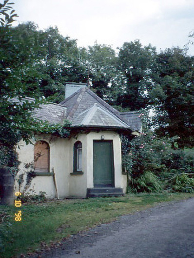 Dicksgrovegate lodge · 1.2 mi
 CastleCastle, motte · 1.9 mi
 Site of Currans CastleCastle, unclassified · 2.8 mi
 Aghadoe Early Medieval Ecclesiastical SiteHeritage attraction · 6.0 mi
 Famine MemorialMemorial · 6.6 mi
 GinkgoGinkgo · 6.8 mi
 Kerry 2nd Brigade of the Irish Republican ArmyMemorial · 6.9 mi
 Circular WalkWalking route · 7.0 mi
 Giant SequoiaGiant Sequoia · 7.0 mi