What is recorded here
Discovered and excavated by John Windele in mid 19th century. Described as 'an oval space, surrounded by low stones not exceeding 3 feet in height....the length is 20 feet' (Borlase 1897, 32; with plan after Windele). Under Windele's direction a number of men dug out area between stones to some depth but 'found nothing' except 'some iron matter' and 'black burnt earth mixed with charcoal' (ibid.); further digging exposed 'a bed of black burnt mould mixed with charcoal', beneath this a large stone was turned over but again 'nothing was found' (ibid.). Exact nature of site unclear. Precise location not given.
The above description is derived from the published 'Archaeological Inventory of County Cork. Volume 3: Mid Cork' (Dublin: Stationery Office, 1997). In certain instances the entries have been revised and updated in the light of recent research.
Date of upload/revision: 14 January 2009
The monument record does not grant public access. Check the route and ask the landowner before entering private land.
- What survives
- Recorded monument
Places near here
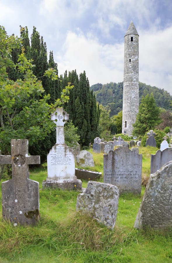 Childrens Burial GdBurial ground · 350 yd
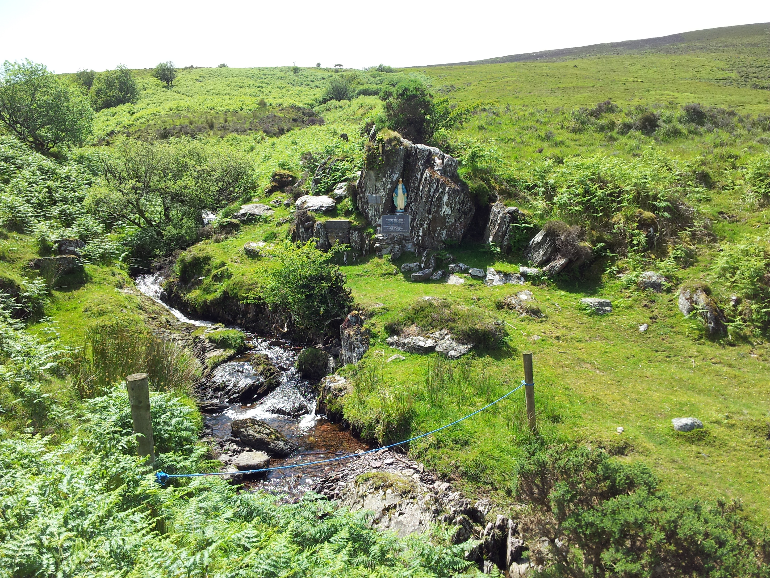 Mass RockMass-rock · 665 yd
 Carrigaphooca Bridgebridge · 715 yd
 Carrigaphooca CastleCastle · 1040 yd
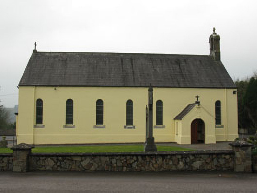 St Abina's Roman Catholic Churchchurch/chapel · 1532 yd
 Curraheen WoodWood · 1.2 mi
 Dundareirke Castle (in Ruins)Castle, tower house · 1.7 mi
 Neill's WoodWood · 2.2 mi
 Macroom WalksVisitor information · 2.8 mi
 Battle of Macroombattle · 3.1 mi
 Clonavrick CliffCliff · 4.1 mi
 Cnoc na nUlán (mullach thoir)Mountain / peak · 4.8 mi