What is recorded here
In pasture, on a N-facing slope. According to local information, burnt material was spread at this location in the course of land reclamation many years ago. There are no visible remains of this material. There is a well (KE057-110002-) c. 25m to the SW.
Compiled by: Elizabeth Byrne, Ursula Egan and Sheila Ronan, Archaeological Survey Unit, University College, Cork.
Date of upload: 31 January 2011
This remains an important historical record, but the official description says the monument is no longer visible or has been destroyed. The monument record does not grant public access. Check the route and ask the landowner before entering private land.
- What survives
- No visible remains or recorded as destroyed
Places near here
 Burnt spread in FarranmanaghBurnt spread · 114 yd
 Fulacht fia in KillaclohaneFulacht fia · 904 yd
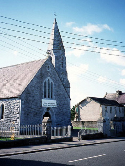 Catholic Church of the Sacred Heartchurch/chapel · 1.5 mi
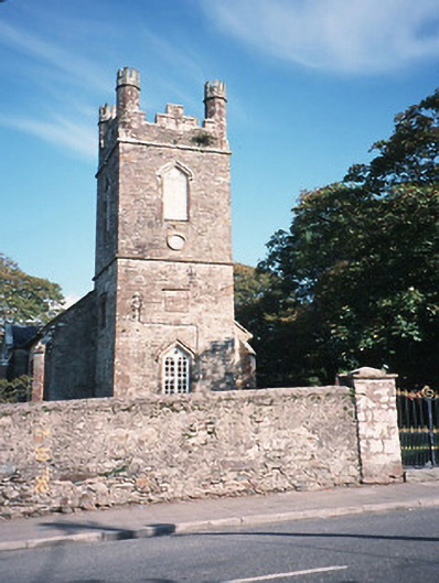 Milltown Church (Kilcolman)church/chapel · 1.5 mi
 CastleCastle, tower house · 1.7 mi
 The Kerry Creamery ExperienceHeritage attraction · 1.8 mi
 Site of Castle MaineCastle, Anglo-Norman masonry castle · 2.2 mi
 Clash IslandIslet · 3.8 mi
 Cloon IslandIsland · 4.2 mi
 Ballygamboon Forest Recreation AreaWood · 4.6 mi
 King Puck statueMemorial · 4.8 mi
 LisnagraveArchaeological place · 5.1 mi
Other information
Photo: Credit not shown in the picture search · Rights wording not checked; contact us if this picture should be removed