
What is recorded here
In Coom, County Kerry, a hidden heat lay buried until men levelled the ground in the mid-1980s. They revealed a broad spread of burnt material, likely the remains of an ancient cooking pit. The earth kept its fire long after the people left, waiting for shoes and spades to finally show the world what it had swallowed.
This record was formerly classed as a 'fulacht fiadh' in both the SMR (1990) and the RMP (1997). According to the field report of the 'Castleisland District Archaeological Survey', a slight rise, comprising burnt material, was levelled here in the mid-1980s (SMR file). This is now visible as a spread of burnt material.
The monument record does not grant public access. Check the route and ask the landowner before entering private land.
- What survives
- Recorded monument
Places near here
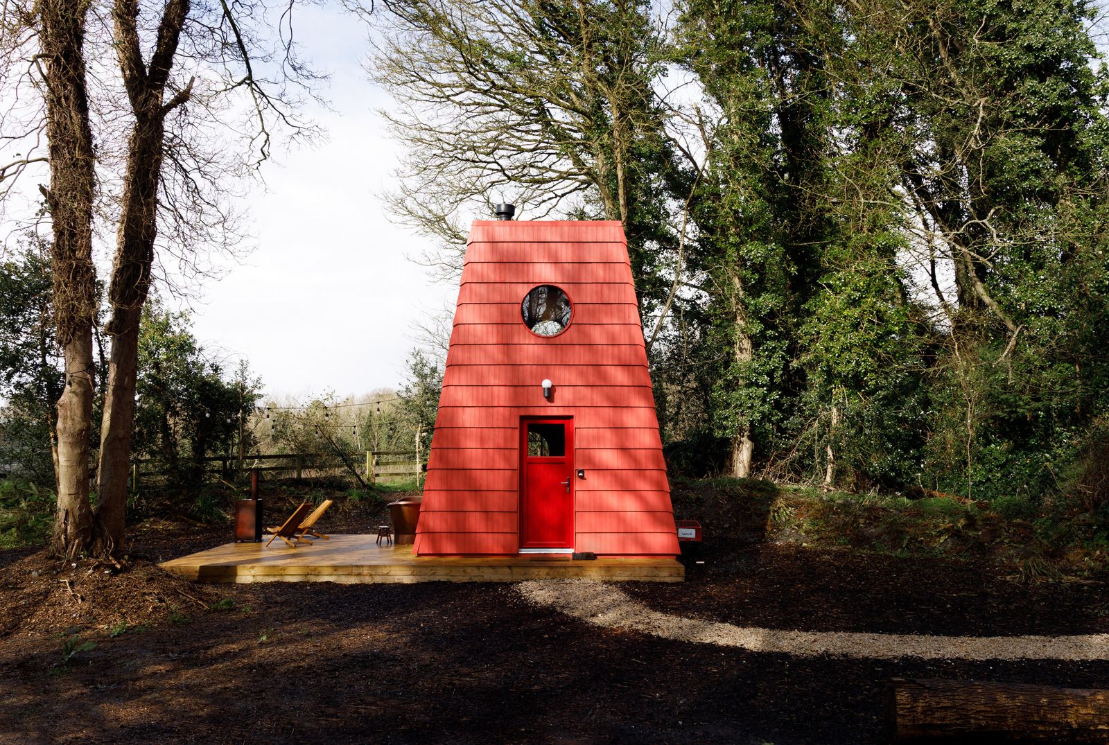 Hut site in Kilquane (trughanacmy By., Cordal Ed)Hut site · 682 yd
 Enclosure in BallinardEnclosure · 1015 yd
 Kilmurry CastleCastle · 1458 yd
 Castle (in ruins)Castle, unclassified · 1460 yd
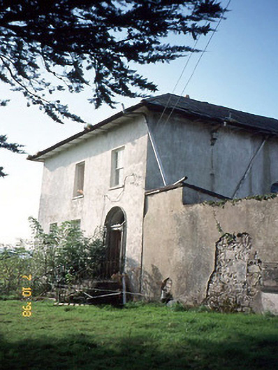 Kilmurry Househouse · 1731 yd
 Kilmurry Church (in ruins)Church · 1.0 mi
 Mount EagleMountain / peak · 1.4 mi
 KnockateeMountain / peak · 1.5 mi
 Crag CaveCave · 3.7 mi
 Barna BogForest · 5.9 mi
 Nohaval WoodWood · 11 mi
 Monsignor Hugh O'Flaherty MemorialMemorial · 14 mi
Other information
Photo: Credit not shown in the picture search · Rights wording not checked; contact us if this picture should be removed