What is recorded here
Burnt stones and charcoal emerged during ploughing in Coolnaleen Lower, County Kerry, marking a forgotten hearth or ritual fire. The scatter lies eleven metres northwest of a possible holy well, linking domestic heat or sacred transformation to water. Stones still mark the ground, preserving the moment when human activity changed the soil.
According to the landowner, burnt stones and charcoal were discovered during ploughing. It was situated about 11m NW of a possible holy well (KE010-079----). A scattering of burnt stones can still be seen today.
The above description is derived from C. Toal, ‘North Kerry Archaeological Survey’. Dingle. Brandon in association with FAS Training and Employment Authority (1995), no. 51. In certain instances the entries have been revised and updated in the light of recent research.
Date of upload: 1 August 2013
The monument record does not grant public access. Check the route and ask the landowner before entering private land.
- What survives
- Recorded monument
Places near here
 OutlinedHoly well · 15 yd
 Billeragh Househouse · 1459 yd
 Enclosure in Islandganniv NorthEnclosure · 1728 yd
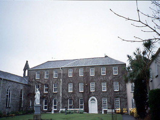 Holy Cross Conventhouse · 1.2 mi
 Listowel Castle (in ruins)Castle, tower house · 1.2 mi
 Kerry Writers' MuseumMuseum · 1.3 mi
 Bryan MacMahonMemorial · 1.3 mi
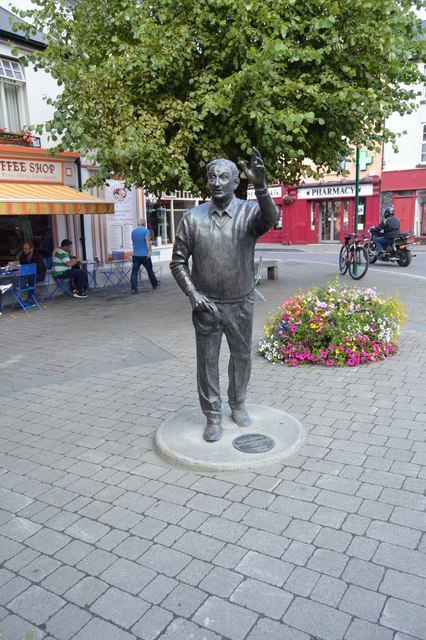 John B. KeaneMemorial · 1.3 mi
 Lartigue MonorailMuseum · 1.4 mi
 CastleCastle, tower house · 2.8 mi
 Kilflynn Nature ReserveNature reserve · 7.6 mi
 KnockanoreMountain / peak · 7.6 mi