What is recorded here
From the National Monuments Service (Archaeological Survey of Ireland) record CO093-104
Places near here
Photo credits
- Maker not stated on source page, www.dreamstime.com
- Maker not stated on source page, www.theirishplace.com
- Maker not stated on source page, en.wikipedia.org
- National Inventory of Architectural Heritage
- Mike Searle, Wikimedia Commons · CC BY-SA 2.0
- Willow, Wikimedia Commons · CC BY 2.5
- Colin Park, Geograph · CC BY-SA 2.0
- mozzercork from Republic of Ireland, Wikimedia Commons · CC BY 2.0
- Phil Armitage, Wikimedia Commons · Public domain
- Maker not stated on source page, www.alamy.com
- Berthold Strucken, Wikimedia Commons · CC BY-SA 4.0
 Bullaun stone in Shehy BegBullaun stone · 457 yd
Explorer Tom Bullaun stone in Shehy Beg has a smooth oval bowl carved into its top, perfect for holding rain or regret. It’s…
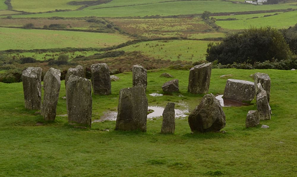 Standing stone in Tooreen (carberry East, Western Division)Standing stone · 1011 yd
Explorer Tom Standing stone in Tooreen thinks it has an imaginary twin across the sea that sends it postcards. It is prostrate…
 Church in CoolmountainChurch · 1564 yd
Explorer Tom Church in Coolmountain is just an outline near Killeen, so it’s playing hide-and-seek with the mapmakers. Two families…
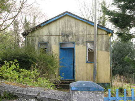 Coolmountain SchoolSchool · 1.1 mi
Explorer Tom Coolmountain School is sitting up there with a commanding view, wearing its corrugated-iron like it’s high fashion. It…
 Togher CastleCastle, tower house · 2.6 mi
Explorer Tom Togher Castle in An Tóchar has a ghost who is too lazy to haunt anything more than the ground floor because climbing…
 European ash5.9 mi
Explorer Tom European ash in Cork is terrified of dying young, so it's overthinking everything. If it won the lotto, it would buy a…
 Shehy MountainMountain / peak · 23 mi
Explorer Tom Shehy Mountain is the quieter eastern sibling of Purple Mountain above Killarney, and it is rather good at avoiding the…
 Purple MountainMountain / peak · 23 mi
Explorer Tom Purple Mountain rises beside Kerry's Gap of Dunloe with the air of a giant who chose his cloak before checking the…
 O'Sullivan's CascadeWaterfall · 23 mi
Explorer Tom O'Sullivan's Cascade is hiding in Tomies Wood on the western side of Killarney's Lough Leane, and Tom is convinced a…
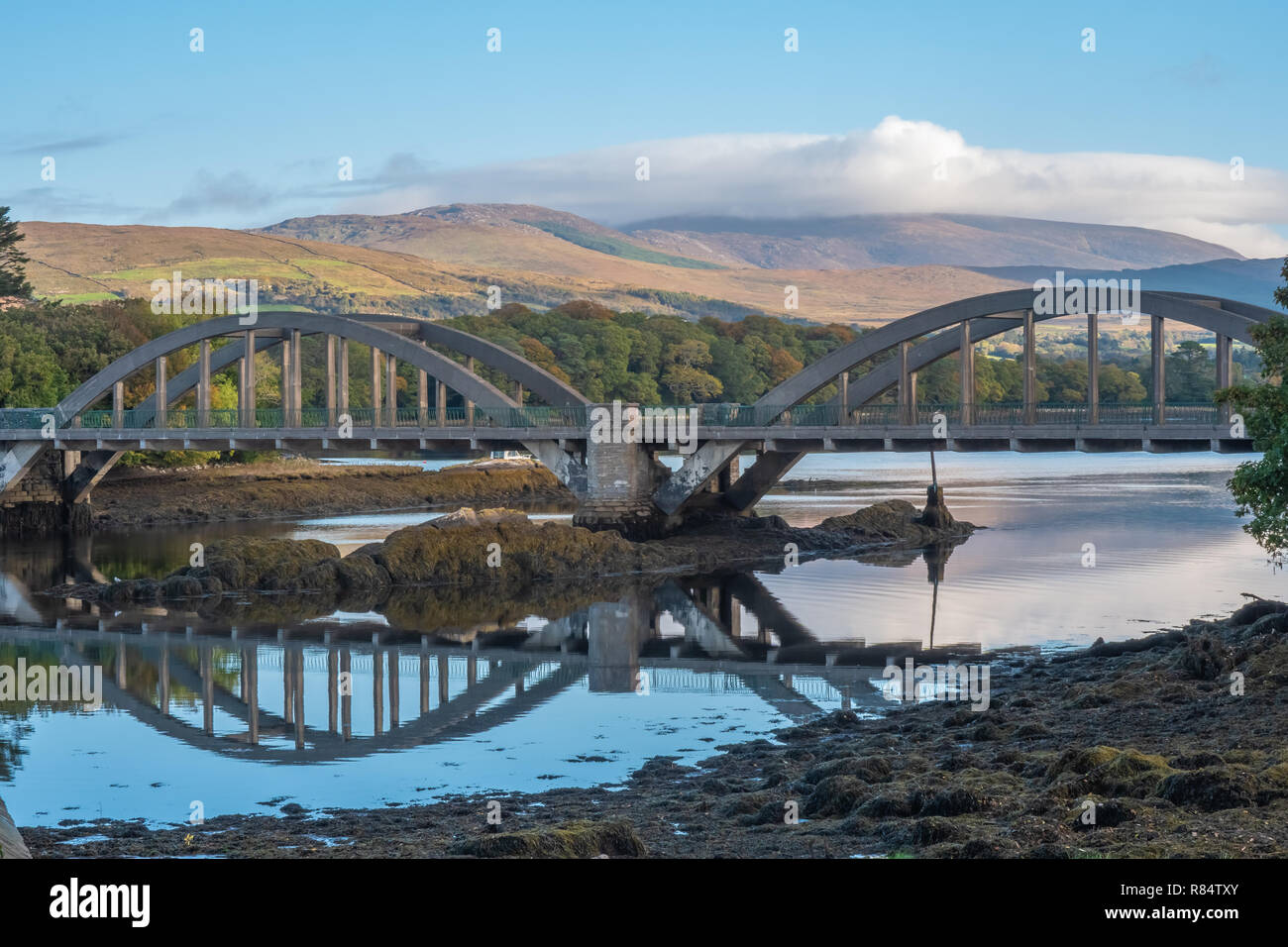 Very small BridgeVisitor attraction · 24 mi
Explorer Tom Very small Bridge has very strong opinions about modern buildings, particularly that they are all too big and not…
 Graveyard in KillaleeGraveyard · 26 mi
Explorer Tom Graveyard in Killalee was hidden under grass until some roadworks revealed eighteen pots and bones. The next village…
 Dunloe Ogham StonesHeritage attraction · 26 mi
Explorer Tom Eight ogham stones stand together at Coolmagort near Beaufort, and they have travelled through several lives without…
More archaeology and monuments in County Cork · All of County Cork

What do you know about this place?Tap to add a comment or ask a question