What is recorded here
This is the record for two burnt spreads that sealed two troughs and three pits excavated by Goorik Dehaene (E3220) on the N11 road improvement scheme. These features were dated to the Bronze Age. (Dehaene 2009i)
Compiled by: Denis Power
Date of upload: 14 January 2013
The monument record does not grant public access. Check the route and ask the landowner before entering private land.
- What survives
- Recorded monument
Places near here
 Tree PlantationForest · 256 yd
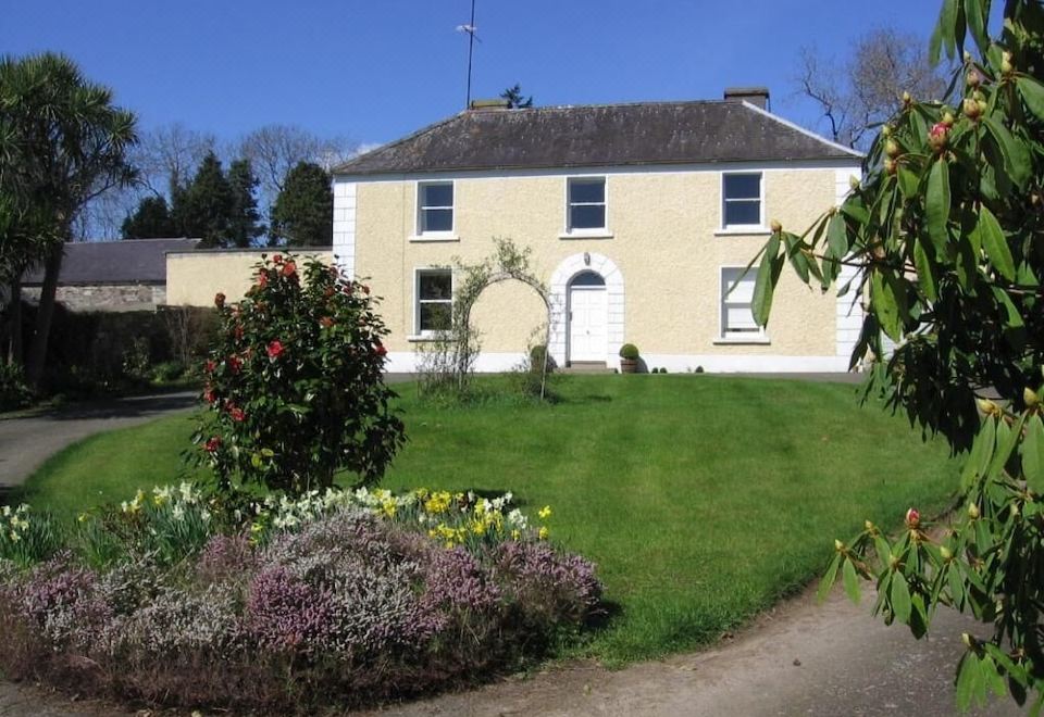 Enclosure in BallinacleaEnclosure · 504 yd
 Font (present location) in CranaghFont (present location) · 787 yd
 Chapel (in Ruins)Church · 1.4 mi
 Church in BallyvaltronChurch · 1.6 mi
 Fagan's WoodForest · 2.0 mi
 Brittas BayBeach / strand · 2.0 mi
 Furzeditch BeachBeach / strand · 3.9 mi
 Site of CastleCastle, unclassified · 5.4 mi
 Meeting of the WatersHeritage attraction · 5.5 mi
 Viewing TowerHeritage attraction · 5.5 mi
 Wicklow 400Memorial · 6.3 mi