What is recorded here
During archaeological monitoring of topsoil stripping by Archaeological Consultancy Services Ltd. along the eastern edge of the Ballyclider Road as part of the M7 Heath-Mayfield Motorway scheme, a burnt mound spread was identified (Ballymooney 1). This site is located 3.5m east of the roadtake and outside of it in the townland of Ballymooney, County Laois. As the contractor had no requirement to remove the monument, it was agreed in consultation with the Department of the Environment, Heritage and Local Government to preserve the site in-situ (Murphy 2004, SMR File 2004-). The full extent of the burnt spread was exposed, cleaned back, photographed, recorded by plan. The main burnt spread measured 2.8m by 2.68m and smaller spreads measuring 2m by 0.55m and 0.9m by 0.75m were visible to the NE. There was no evidence of a trough in the burnt spread but it is possible that the trough may be located beneath the main burnt spread (Murphy 2004, i).
The monument record does not grant public access. Check the route and ask the landowner before entering private land.
- What survives
- Recorded monument
Places near here
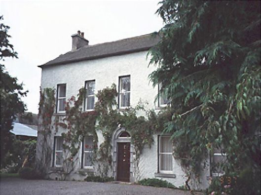 Bloomfield Househouse · 702 yd
 Enclosure in BallycliderEnclosure · 1034 yd
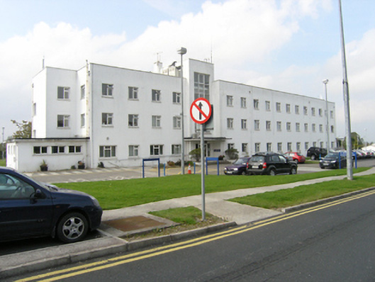 Midland Regional Hospital Portlaoisenurses' home · 1335 yd
 Mail Coach StablesCastle, unclassified · 1432 yd
 Enclosure in Ballyroan (maryborough East By.)Enclosure · 1.1 mi
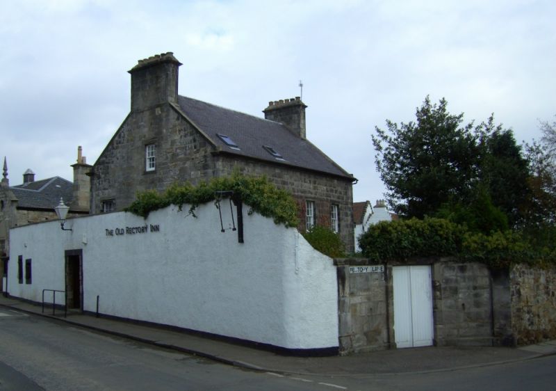 Bawn in DysartBawn · 1.4 mi
 Burial Ridge of MaryboroughMemorial · 1.5 mi
 Portlaoise CourthouseMemorial · 1.8 mi
 Rock of DunamaseCastle · 1.9 mi
 Rock of Dunamase InformationVisitor information · 2.0 mi
 Rock of CashelMountain / peak · 3.9 mi
 European BeechEuropean Beech · 4.6 mi