What is recorded here
Located c. 60m N of a NW-SE flowing stream. Identified as a, 'spread of charcoal and burnt clay, probably part of a fulacht fiadh' during the construction of the Cork-Dublin gas pipeline (Sleeman 1983, 365-6).
Compiled by: Jean Farrelly
Date of upload: 17 August 2021
The monument record does not grant public access. Check the route and ask the landowner before entering private land.
- What survives
- Recorded monument
Places near here
 Ballybur CastleCastle, tower house · 458 yd
 Church (Site of)Church · 675 yd
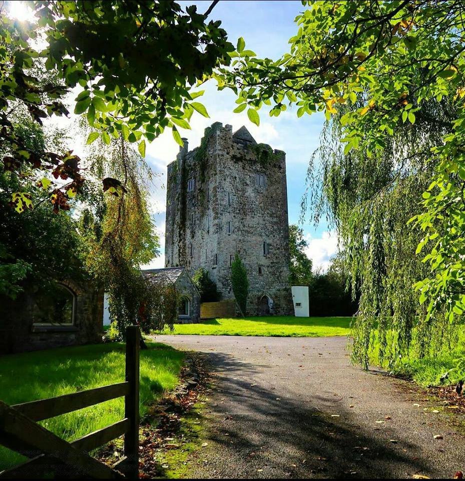 Enclosure in Ballybur UpperEnclosure · 680 yd
 Church Hill National Schoolschool · 1483 yd
 Catholic Church of the Holy Crosschurch/chapel · 1498 yd
 Burnchurch CastleVisitor information · 1703 yd
 CastleCastle, unclassified · 1.5 mi
 HawthornHawthorn · 1.8 mi
 Jamie BroderickMemorial · 2.3 mi
 The N76 Callan Road Realignment SchemeMemorial · 2.3 mi
 Millennium WoodWood · 2.3 mi
 Ballyda Holy WellSpring · 2.5 mi