
What is recorded here
This site was uncovered during test trenching (licence no. 20E0489) , carried out on areas proposed for use as spoil deposition areas related to road improvements along the R556 Dale Road, Abbeydorney, Co. Kerry.
This burnt spread is situated on dry ground, approximately 100m to the E of a large area of wet ground, recently planted for forestry, The monument comprises a scatter of burnt and fire-cracked sandstone in a matrix of black soil. The burnt stone covered an area measuring 20m NW-SE and a maximum of 10m NE-SW. It had a maximum height of 0.15m. It had no above ground register, and no trough area was visible.
Compiled by: Frank Coyne
Date of upload: 8 March 2022
The monument record does not grant public access. Check the route and ask the landowner before entering private land.
- What survives
- Recorded monument
Places near here
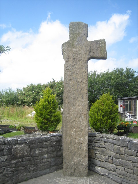 CrossCross, High cross · 1145 yd
 Burnt spread in BallyhenryBurnt spread · 1725 yd
 Ballymacaquinn Castle (remains of)Castle · 1.6 mi
 Church in Kilcooly NorthChurch · 2.2 mi
 Abbeydorney Monastery (in ruins)Religious house, Cistercian monks · 2.3 mi
 Kilflynn Nature ReserveNature reserve · 3.6 mi
 Castle (in ruins)Castle, unclassified · 3.9 mi
 Tobar na MoltSpring · 4.9 mi
 Ardfert Franciscan FriaryVisitor information · 5.4 mi
 Ardfert FriaryVisitor information · 5.4 mi
 Pierce's IslandIslet · 5.7 mi
 15th Centenary of the birth of St-BredanMemorial · 5.7 mi
Other information
Photo: Credit not shown in the picture search · Rights wording not checked; contact us if this picture should be removed