What is recorded here
Uncovered during the monitoring of topsoil-stripping immediately N of the Nenagh bypass. 'They varied in size from 0.2m diameter to 0.8m x 0.5m and had a maximum depth of 0.4m. They were filled with a mix of charcoal-rich soil and burnt, red clay, and almost all produced metal slag' (McConway 2000a, 189). The excavator concluded that the proximity and similarity to the other collection pits in the townland (TN020-122001) suggests a possible Bronze Age date for these features (ibid.).
Compiled by: Caimin O'Brien.
Date of upload: 22 September 2008
The monument record does not grant public access. Check the route and ask the landowner before entering private land.
- What survives
- Recorded monument
Places near here
 Hut site in BenedinHut site · 171 yd
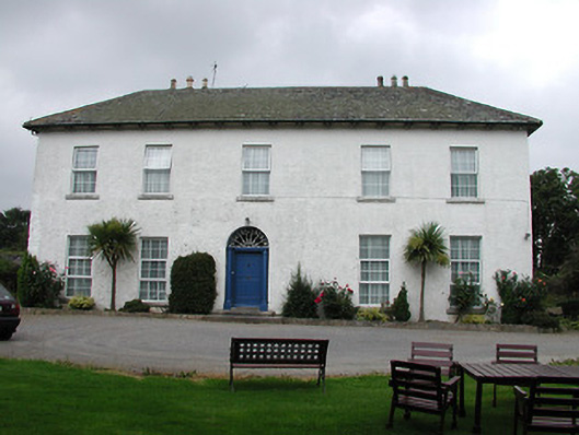 Tyone Housemill manager's house · 1342 yd
 Tyone Br.Bridge · 1485 yd
 ToberabrahilHoly well · 1551 yd
 Site of Bawn CastleCastle, unclassified · 1.1 mi
 Nenagh CastleCastle · 1.3 mi
 Nenagh Heritage CentreMuseum · 1.3 mi
 Old BarracksHeritage attraction · 1.5 mi
 Gibbet HillMountain / peak · 1.9 mi
 Sweet ChestnutSweet Chestnut · 3.5 mi
 Our Lady Assumed into HeavenMemorial · 3.9 mi
 The MinerMemorial · 3.9 mi