What is recorded here
Situated on flat pasture in undulating countryside. The site consists of a small spread (dims. 3m x 1m; D 0.3m) of fire-cracked stone and charcoal-rich silt which was exposed in the baulk of the excavation. Five small pits (TN036-054001/003) containing similar burnt material were found to the S of this site. Two of these pits were oval in plan measuring 0.7m in diameter by 0.2m in depth. The 3 other pits were oblong in plan measuring 4.2m x 0.4m, D 0.1m; 1.8m x 0.5m; D 0.1m; 2.2m x 1m; D 0.1m respectively. (Stevens 2000, 197).
The above description is derived from 'The Archaeological Inventory of County Tipperary. Vol. 1 - North Tipperary' compiled by Jean Farrelly and Caimin O'Brien (Dublin: Stationery Office, 2002). In certain instances the entries have been revised and updated in the light of recent research.
Date of upload/revision: 22 September 2008
The monument record does not grant public access. Check the route and ask the landowner before entering private land.
- What survives
- Recorded monument
Places near here
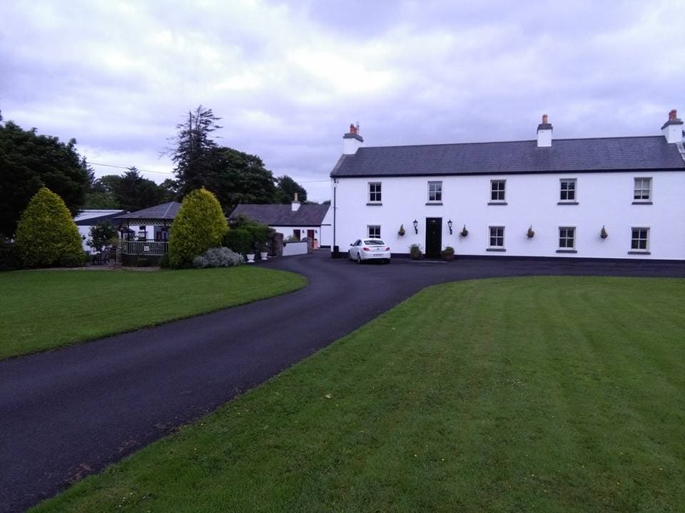 LislacyFairy fort / earthen ringfort · 879 yd
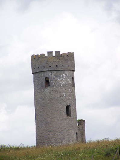 Killoran Towerfolly · 1439 yd
 Killoran Housecountry house · 1446 yd
 Fulacht fia in DerryvilleFulacht fia · 1.1 mi
 Castle (in ruins)Castle, tower house · 1.3 mi
 LisdonowleyCastle, ringwork · 1.4 mi
 Tullow HillMountain / peak · 2.7 mi
 Clonmeen WoodWood · 4.6 mi
 Pheasant IslandHeritage attraction · 6.8 mi
 Lár na PáirceMuseum · 7.0 mi
 WoodlandWood · 7.4 mi
 Devil's Bit MountainMountain / peak · 9.4 mi