What is recorded here
Located on level ground at the SW foothills of Slievecoiltia with a small N-S stream immediately to the E. This is an oval area of burnt and cracked stones and black earth (dims. 17m N-S; 9m E-W) visible as a slight rise in a ploughed field. It is also visible as a dark stain on the aerial photographs of Google Earth (2009) and on Bing aerial photographs.
The above description is derived from the published 'Archaeological Inventory of County Wexford' (Dublin: Stationery Office, 1996). In certain instances the entries have been revised and updated in the light of recent research.
compiled by: Michael Moore
Date of upload/revision: 29 January, 2013
Burnt mound in Whitechurch is a Neolithic ritual or industrial site, dating to approximately 4000–2500 BCE. Its significance lies in providing evidence of early human activity, possibly related to cooking, feasting, or ceremonial practices.
The monument record does not grant public access. Check the route and ask the landowner before entering private land.
- What survives
- Recorded monument
Places near here
 IndicatedFairy fort / earthen ringfort · 501 yd
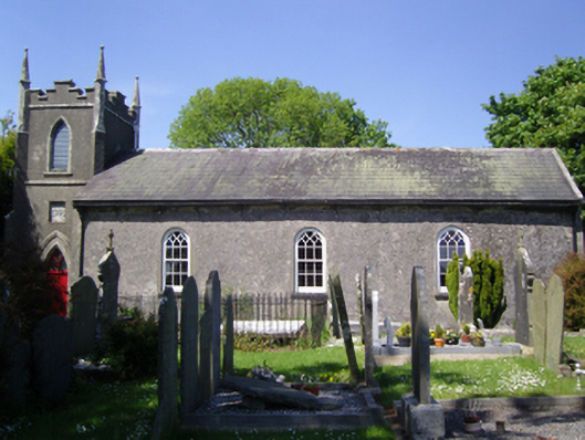 Whitechurch Churchchurch/chapel · 647 yd
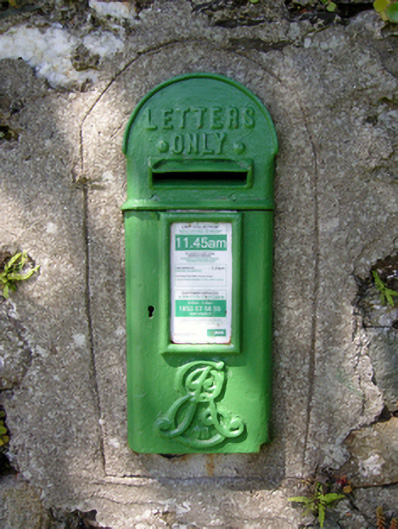 post boxpost box · 680 yd
 Not indicatdFairy fort / earthen ringfort · 710 yd
 CastleCastle, tower house · 1181 yd
 John F. Kennedy Arboretum MuseumMuseum · 1466 yd
 Bamboo CollectionVisitor information · 1647 yd
 The John F. Kennedy ArboretumForest · 1688 yd
 Silver WattleSilver Wattle · 1.0 mi
 Barberry CollectionVisitor information · 1.1 mi
 The Croppy GroveMemorial · 1.1 mi
 Garden of RemembranceMemorial · 1.1 mi