What is recorded here
In undulating pasture, on a W-facing slope. An irregularly shaped spread (c. 15m E-W; c. 10m N-S) of heat-shattered stones and charcoal-enriched soil.
The above description is derived from 'The Archaeological Inventory of County Cork. Volume 5' (Dublin: Stationery Office, 2009).
Date of upload: 22 December 2009
Burnt mound in Tulligee is a Neolithic ritual or industrial site, dating to the 4th–3rd millennia BCE. It is significant as evidence of early human activity, possibly related to ceremonial practices or tanning processes.
The monument record does not grant public access. Check the route and ask the landowner before entering private land.
- What survives
- Recorded monument
Places near here
 Church in Carrigroe (ibane and Barryroe By.)Church · 523 yd
 Man-made underground passage in Carrigroe (ibane and Barryroe By.)Man-made underground passage · 562 yd
 Mass-rock in KnockaphoneryMass-rock · 583 yd
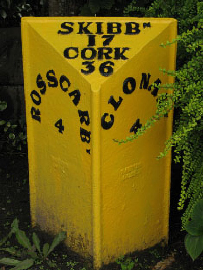 milestone/milepostmilestone/milepost · 1257 yd
 Castle Freke WoodsForest · 1.2 mi
 Cottage MuseumMuseum · 1.2 mi
 Sitka SpruceSitka Spruce · 1.4 mi
 Michael Collins MemorialMemorial · 1.6 mi
 Bawn in CastlefrekeBawn · 1.8 mi
 Michael Collins BirthplaceHistoric birthplace · 1.9 mi
 Lord Carbery's Cross TrailWalking route · 1.9 mi
 Little Island StrandBeach / strand · 2.2 mi