What is recorded here
Located in wet, marginal land. This burnt mound was discovered during archaeologically monitored works on the Lough Mask Regional Water Supply Scheme (2001-2002). It was recorded and sampled under licence 01E0314 (Guinan 2015, 104-106, Treannaskehy II). A layer (T 0.3m) of burnt sandstone and charcoal was exposed at a depth of c. 0.3m beneath the surface. The layer continued to S beyond the acquired pipeline wayleave. Its full extent is uncertain but is estimated to cover a roughly circular area (diam. 10-11m). The route of the pipeline was subsequently altered to avoid the monument. A charcoal sample produced a radiocarbon date of 2734+/-40 BP (991-813 BC) which dates the site to the Late Bronze Age. There is a burnt mound (MA112-114----) c. 60m to NE, and another burnt mound (MA112-116----) is located 100m to SW. (Guinan 2015, 104-106).
Compiled by: Jane O’ Shaughnessy
Date of upload: 3 March 2016
Burnt mound in Treannaskehy is a Bronze Age ritual or domestic feature, dating to approximately 2000–800 BCE. Its significance lies in providing evidence of early land use and human activity in a wetland environment.
The monument record does not grant public access. Check the route and ask the landowner before entering private land.
- What survives
- Recorded monument
Places near here
 IndicatedEnclosure · 692 yd
 Esker FortEnclosure · 894 yd
 CastleCastle, unclassified · 1.7 mi
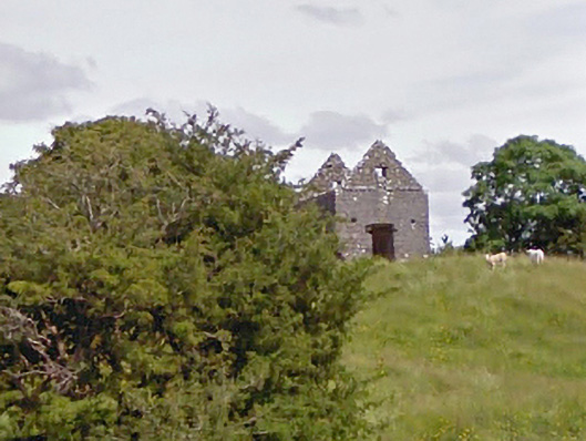 aviary/dovecote/pigeon houseaviary/dovecote/pigeon house · 2.0 mi
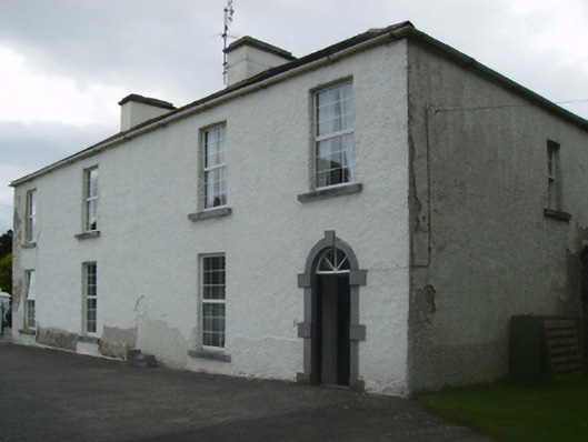 Cuillaun Housefarm house · 2.1 mi
 Castlekeel (in ruins)Castle, unclassified · 4.8 mi
 Oak WoodForest · 4.9 mi
 European ashEuropean ash · 10 mi
 Mass RockNamed rock · 11 mi
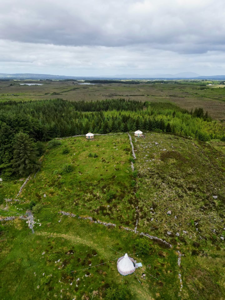 Enclosure in KilvineEnclosure · 1006 yd
 Conors FortFairy fort / earthen ringfort · 1274 yd
 LisbrackFairy fort / earthen ringfort · 1547 yd