What is recorded here
In a recently planted forest, at the base of a W-facing slope. A roughly circular grass-covered mound (6.6m E-W; 6.4m N-S; H 0.1m) of heat-shattered stones and charcoal-enriched soil.
The above description is derived from 'The Archaeological Inventory of County Cork. Volume 5' (Dublin: Stationery Office, 2009).
Date of upload: 22 December 2009
Burnt mound, likely dating to the Neolithic or early Bronze Age. These features are associated with ritual or industrial activities, such as heat-treated stone use in cooking or hide-scalding.
The monument record does not grant public access. Check the route and ask the landowner before entering private land.
- What survives
- Recorded monument
Places near here
 Burnt mound in TeeveenyBurnt mound · 327 yd
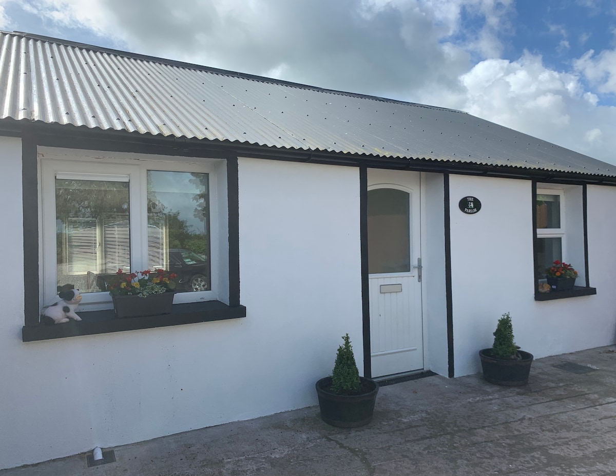 Teeveny HouseCountry house · 720 yd
 Enclosure in Ardagh (orrery and Kilmore By.)Enclosure · 1318 yd
 Castle (Site of)Castle, unclassified · 1.2 mi
 Castlehill BridgeBridge · 1.2 mi
 Liscarroll CastleCastle · 2.0 mi
 Battle of LiscarrollMajor battlefield · 2.0 mi
 Windmill HillMountain / peak · 2.8 mi
 Churchtown TrailsVisitor information · 4.2 mi
 Ballyhoura WayWalking route · 4.2 mi
 Lady's WellSpring · 4.9 mi
 National Co-op MuseumMuseum · 5.4 mi