What is recorded here
A large spread (25.8m E-W; 9.15m N-S) of heat-shattered stones and charcoal-enriched soil was discovered during topsoil stripping in advance of the construction of the Ballincollig-Ballineen gas pipeline and was excavated in 2000. Apart from a N-S field drain which cut across the spread, no other features were uncovered. A fragment of a lignite bracelet was found in the NE portion of the spread. The spread had been severely damaged during the topsoil stripping. Spring wells were noted to the N and S of the spread. A possible fulacht fia (CO109-091002-) lies 0.35m to the E. (Tobin 2001; 2002e, 53)
The above description is derived from 'The Archaeological Inventory of County Cork. Volume 5' (Dublin: Stationery Office, 2009).
Date of upload: 22 December 2009
Burnt mound, likely dating to the Neolithic or Bronze Age. It represents a domestic or ritual site where heat was applied to stones, possibly for cooking, water heating, or ceremonial purposes.
The monument record does not grant public access. Check the route and ask the landowner before entering private land.
- What survives
- Recorded monument
Places near here
 Fulacht fia in Teadies UpperFulacht fia · 1 yd
 Castlelands Millmill (water) · 530 yd
 Burnt mound in Castlelands (carbery East (w.d.) By.)Burnt mound · 721 yd
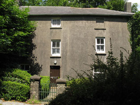
 Castlelands Househouse · 945 yd
 The GlenWood · 2.1 mi
 Castle DerryCastle · 2.7 mi
 Castle RockNamed rock · 3.1 mi
 Tobar MacloonaboySpring · 3.3 mi
 Corran HillMountain / peak · 3.4 mi
 Irish National Forestry FoundationNature reserve · 3.5 mi
 Green HillMountain / peak · 3.8 mi
 Ballynacarriga CastleCastle, tower house · 5.4 mi