What is recorded here
In the NE corner of a pasture field, on the margins of damp, lowlying terrain bordering the inner reaches of Sligo Bay.
This burnt mound was discovered in June 2022 during archaeological monitoring (Licence no. 22E0373) of topsoil stripping on the pipeline way-leave of the Rosses Point/Ballincar Sewerage Scheme. It consists of a deposit (3m N-S; 2m E-W) of heat-cracked stones in a charcoal-enriched matrix located at a depth of 0.3m below the topsoil.
Compiled by: Jane O'Shaughnessy
Date of upload: 21 July 2022
Burnt mound, likely dating to the Neolithic or Early Bronze Age. It represents evidence of ancient domestic or ritual activity, though its wider significance remains unclear due to limited contextual information.
The monument record does not grant public access. Check the route and ask the landowner before entering private land.
- What survives
- Recorded monument
Places near here
 Fortification in LisnalurgFortification · 376 yd
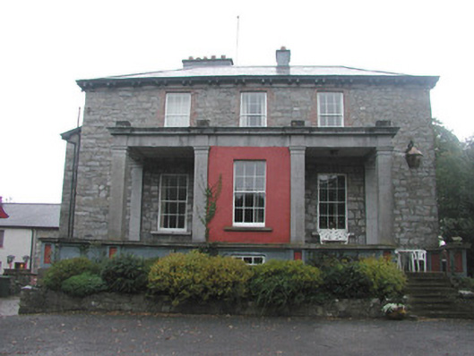 Mountshannon Housecountry house · 519 yd
 IndicatedFairy fort / earthen ringfort · 812 yd
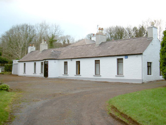 Fort Louishouse · 920 yd
 European BeechEuropean Beech · 1628 yd
 Famine MemorialMonument · 1684 yd
 CastleCastle, Anglo-Norman masonry castle · 1.0 mi
 Model Niland GalleryHeritage attraction · 1.1 mi
 Discover IrelandVisitor information · 1.1 mi
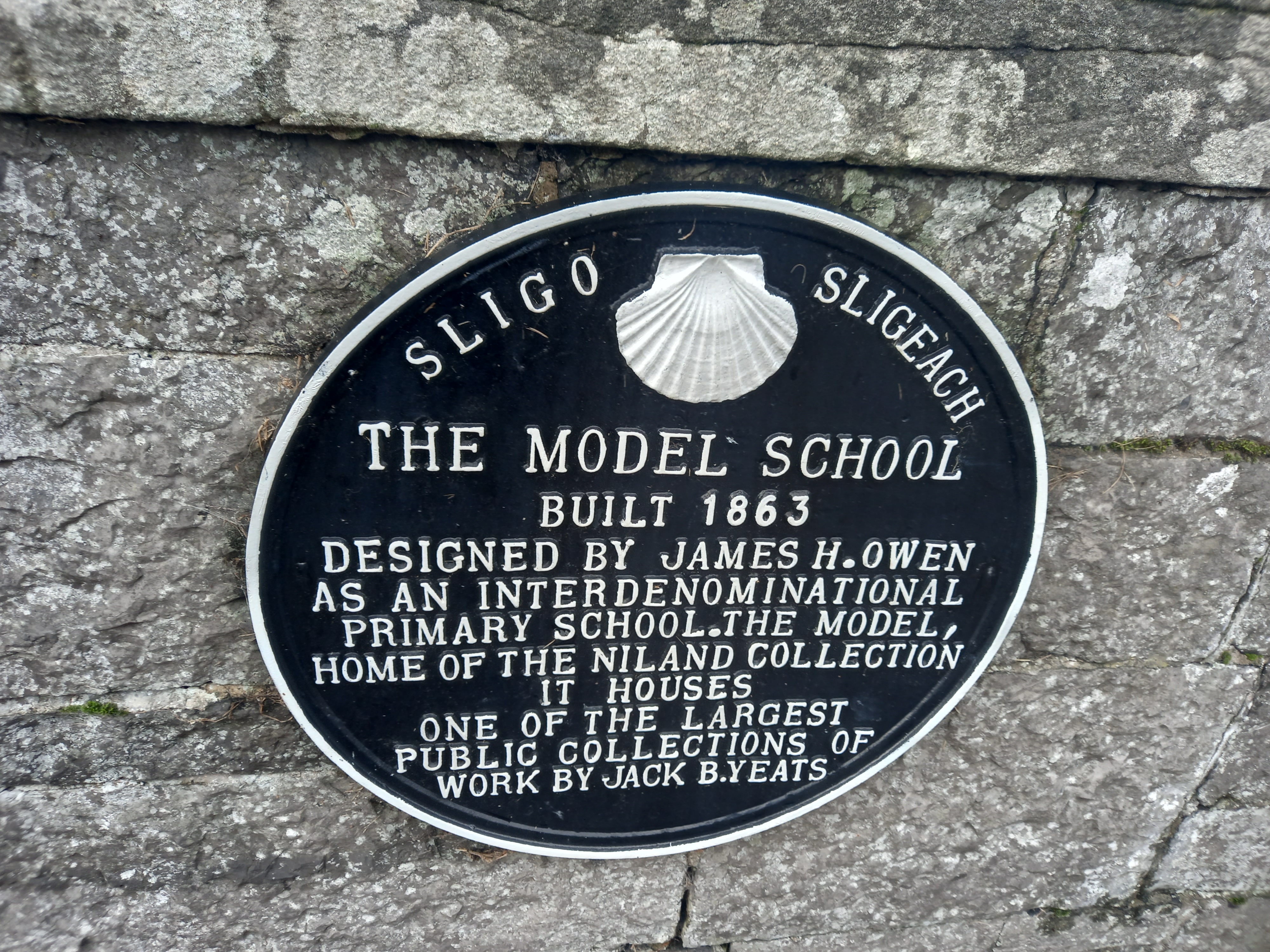 Model SchoolMemorial · 1.1 mi
 SligoVisitor information · 1.1 mi
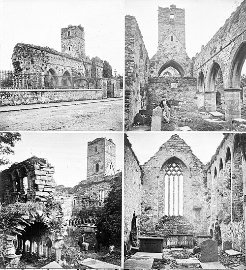 Sligo AbbeyMuseum · 1.2 mi