What is recorded here
Located near the base of a SE facing slope, adjacent to a natural basin of peat overlying marl. This burnt mound was uncovered at a depth of 0.3-0.4m below the surface during pre-development testing in May 2014 in advance of the construction of a football pitch (Excavation licence: 14E0144). It appeared to have been leveled/disturbed in the past, and was visible as four discrete irregular-shaped patches of blackened soil, heat-shattered rocks and occasional charcoal, which covering an area of 6.3m NNE-SSW. The burnt mound was not fully excavated. It was covered with a terram membrane and 300mm of sand, and is preserved in situ below the football pitch. (Pers. comm. Richard Crumlish, consultant archaeologist, November 2015). There is a fulacht fia (MA078-068----) located 50m to ENE.
The attached image is uploaded courtesy of Richard Crumlish: MA078-069----_01.JPG
Compiled by: Jane O'Shaughnessy
Date of upload: 9 November 2015
Burnt mound, likely dating to the Neolithic or Early Bronze Age. Such features are commonly associated with domestic or ritual activities involving heat, and their presence indicates early human settlement or land use in the area.
The monument record does not grant public access. Check the route and ask the landowner before entering private land.
- What survives
- Recorded monument
Places near here
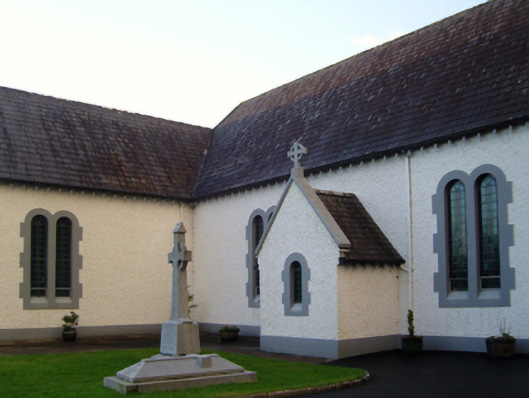 Saint Patrick's Catholic Churchchurch/chapel · 287 yd
 Islandeady Constabulary Barrackgarda station/constabulary barracks · 977 yd
 Grave Yd.Graveyard · 1151 yd
 IndicatedEnclosure · 1.7 mi
 Cock IslandWood · 2.3 mi
 Maria Browne O'DonelMemorial · 2.3 mi
 Raheens WoodForest · 2.3 mi
 Castle in ruinsCastle, unclassified · 3.9 mi
 Brockagh Castle in ruinsCastle, tower house · 4.2 mi
 Battle of CastlebarMajor battlefield · 4.9 mi
 Carney's Cottage 1863Memorial · 4.9 mi
 Pirate QueenHeritage attraction · 5.7 mi