What is recorded here
This site is located approximately 20m west of the eastern field fence and 30m south of the northern field fence. A layer of burnt soil and stone was revealed in the north face of a drain. This burning extends in section over 3.05m. No burning was evident in the south face of the drain. No surface mound was identified in association with this burnt soil. Further burning was not identified in adjacent drains.
Compiled by: Úna Cosgrove
Date of upload: 04 October 2013
A burnt mound; likely dating to the Neolithic or Bronze Age. Such features are often associated with ritual or industrial activities, though their exact function remains debated.
The monument record does not grant public access. Check the route and ask the landowner before entering private land.
- What survives
- Recorded monument
Places near here
 Ecclesiastical site in LislaughtinEcclesiastical site · 833 yd
 Lislaughtin Abbey (in ruins)Religious house, Franciscan friars · 854 yd
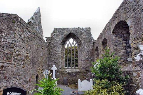 Enclosure in LislaughtinEnclosure · 1521 yd
 Saint Senans RoadRoad, road/trackway · 1.0 mi
 Carrigafoyle CastleCastle · 1.3 mi
 Carrigafoyle Cas. (in ruins)Castle, tower house · 1.3 mi
 Siege of Carrigafoyle Castlesiege · 1.3 mi
 Carrig IslandIsland · 1.5 mi
 Ballymacrinan BayBay · 3.4 mi
 Fawley's PointHeadland · 3.8 mi
 Scattery IslandIsland · 4.0 mi
 Scattery Island Visitor CentreVisitor information · 4.0 mi