What is recorded here
In pasture, on a gentle S-facing slope. According to local information, heat-shattered stones and charcoal-enriched soil from a mound which formerly existed here has been spread over a wide area. None of this material is now visible but there is a slight rise where the mound was.
The above description is derived from 'The Archaeological Inventory of County Cork. Volume 5' (Dublin: Stationery Office, 2009).
Date of upload: 22 December 2009
A burnt mound; likely dating to the Bronze Age. It represents a domestic or ritual site where stones were heated, possibly for cooking or water heating, indicating early technological practices.
The monument record does not grant public access. Check the route and ask the landowner before entering private land.
- What survives
- Recorded monument
Places near here
 Holy well in CashelfeanHoly well · 1512 yd
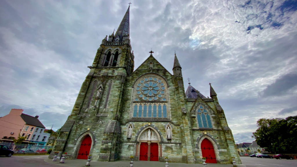 Kilcarriel Church (in Ruins)Church · 1682 yd
 Burial ground in ArderrawinnyBurial ground · 1.0 mi
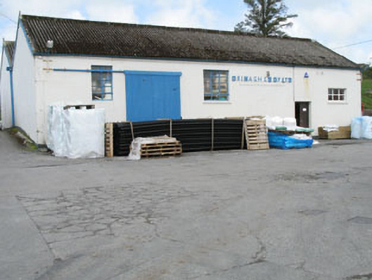 Drinagh Co-operative Ltd.creamery · 1.6 mi
 KnockaughnaMountain / peak · 1.8 mi
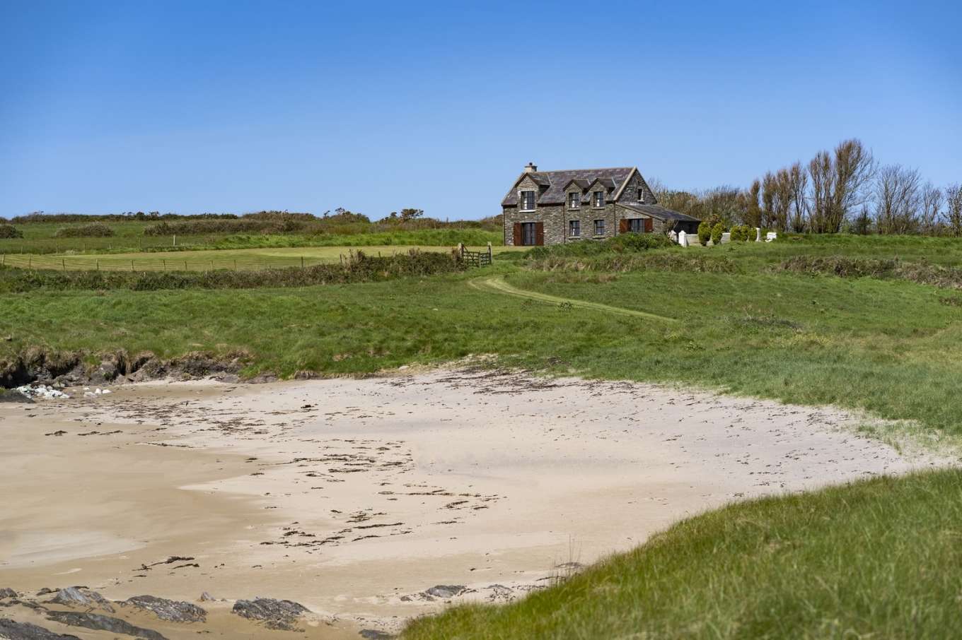 Horse IslandIslet · 1.8 mi
 Castle (Site of)Castle, unclassified · 2.2 mi
 Cold IslandIslet · 2.3 mi
 Dunmanus Castle (in Ruins)Castle, tower house · 2.3 mi
 Dunmanus PointHeadland · 2.4 mi
 AltarViewpoint · 2.7 mi
 Mount Gabriel View Point toward NorthViewpoint · 3.0 mi