What is recorded here
In lowlying, damp rush-grown pasture, located on the W bank of a NNW flowing stream/drain. Immediately to NW is a minor road, on an ENE-WSW axis, bordered by a field drain.
A sod-covered, oblong mound (9.5m E–W; 4m N–S; H 0.3m) truncated to N by the field drain (W 0.9m; D c. 0.8m). A layer of heat-shattered, friable sandstone fragments in a matrix of charcoal-rich soil is visible in the drain section. Another burnt mound (MA071-206----) is located 50m to SSE.
Compiled by: Jane O’Shaughnessy
Date of upload: 27 September 2021
Burnt mound in Rathslevin is a Neolithic ritual or industrial site, dating to approximately 4000–2500 BCE. Its significance lies in providing evidence of early human activity, possibly related to cooking, feasting, or ceremonial practices.
The monument record does not grant public access. Check the route and ask the landowner before entering private land.
- What survives
- Recorded monument
Places near here
 IndicatedEnclosure · 383 yd
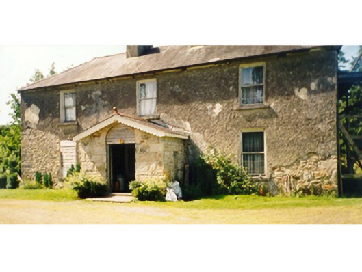 Killedan Housefarm house · 1317 yd
 Killedan ChurchChurch · 1.2 mi
 Enclosure in Clooneen (gallen By.)Enclosure · 2.1 mi
 Thorn CaveCave · 2.3 mi
 I'll Send You The FareMemorial · 2.5 mi
 Kiltimagh MuseumMuseum · 2.7 mi
 Carrowbeg WoodWood · 3.3 mi
 CashlankeeghCastle, unclassified · 3.6 mi
 Shonagawna Castle in RuinsCastle, unclassified · 4.5 mi
 Michael DavittMemorial · 4.9 mi
 Brabazon WoodsForest · 5.3 mi