What is recorded here
In wet pasture, located on the N side of a stream/drain, with rising ground c. 40m to N.
Barely discernible oval rise (12m N–S; 8m E–W) of heat-shattered stone in a matrix of charcoal-rich soil. It is noticeable as being a firm, dry area amidst the surrounding soft, damp ground.
Compiled by: Jane O’Shaughnessy
Date of upload: 1 June 2021
A burnt mound; date and cultural context uncertain, but likely Bronze Age. Such features are commonly associated with domestic or ritual activities involving heat, such as cooking or ceremonial practices.
The monument record does not grant public access. Check the route and ask the landowner before entering private land.
- What survives
- Recorded monument
Places near here
 farm housefarm house · 521 yd
 IndicatedFairy fort / earthen ringfort · 680 yd
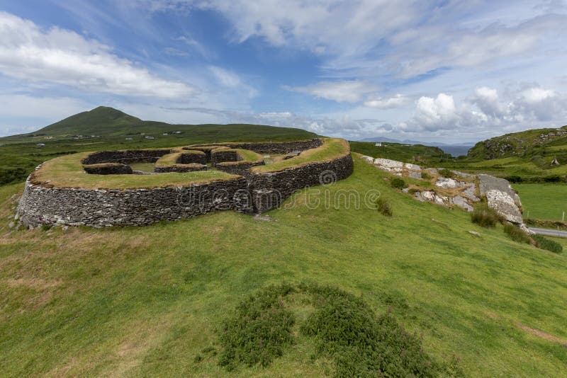 Cashelgal FortFairy fort / stone ringfort · 839 yd
 Church in Rusheens WestChurch · 1.1 mi
 Crunaun Castle (in ruins)Castle, unclassified · 2.1 mi
 Casatle (ruins)Castle, unclassified · 2.5 mi
 Bockagh HillMountain / peak · 4.1 mi
 East Mayo Brigade MonumentMemorial · 8.1 mi
 Bawn IslandIslet · 9.2 mi
 Rose PointHeadland · 9.8 mi
 Crow IslandIslet · 9.9 mi
 Castle PointHeadland · 10.0 mi