What is recorded here
In undulating tillage, on the top of a rise. A large spread (48m NE-SW; 42m NW-SE) of heat-shattered stones and charcoal-enriched soil was visible in a recently ploughed field. Within the spread, c. 11m off-centre to the SE, was a denser concentration (16m NW-SE; 14m NE-SW) of heat-shattered stones and charcoal-enriched soil. Two fulachtaí fia (CO033-053----, CO033-054----) lie c. 175m and 220m to the SW, respectively.
The above description is derived from 'The Archaeological Inventory of County Cork. Volume 5' (Dublin: Stationery Office, 2009).
Date of upload: 22 December 2009
Burnt mound, likely dating to the Neolithic or Early Bronze Age. Such features are commonly associated with ritual or industrial activities, though their exact function remains debated.
The monument record does not grant public access. Check the route and ask the landowner before entering private land.
- What survives
- Recorded monument
Places near here
 Corn Mill AqueductMilling complex · 248 yd
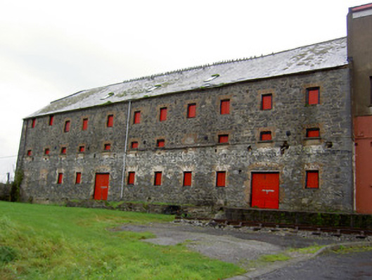 mill (water)mill (water) · 252 yd
_-_geograph.org.uk_-_7301186.jpg?width=1280) Quartertown Housemill manager's house · 256 yd
Quartertown Housemill manager's house · 256 yd Blackwater WayWalking route · 676 yd
 Mallow River TrailVisitor information · 1054 yd
 In loving memory of Elvis O'DonoghueMemorial · 1086 yd
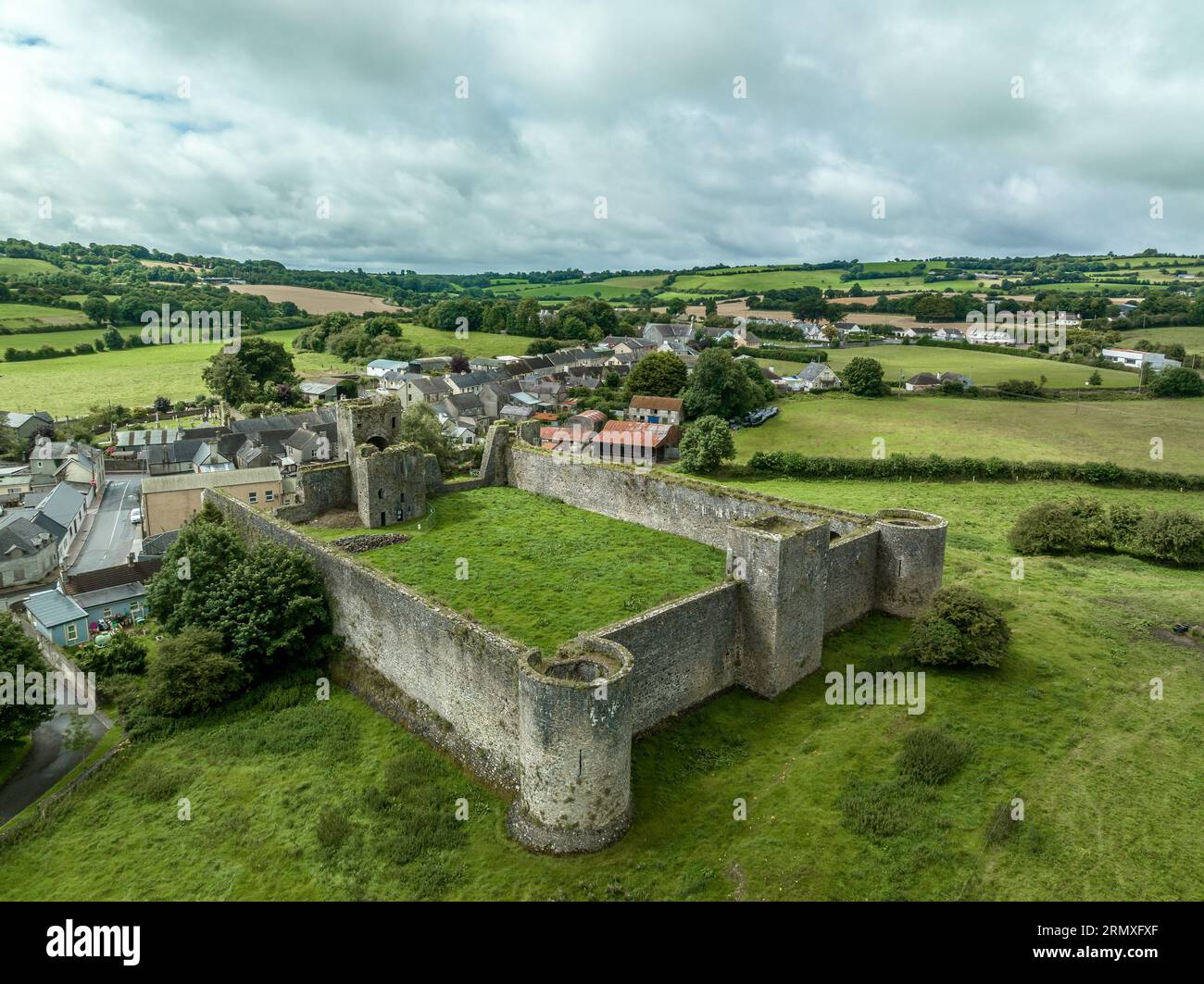 Enclosure in KilletraEnclosure · 1476 yd
 Castle (Site of )Castle, unclassified · 1.1 mi
 Mallow Castle (in Ruins)House, fortified house · 1.3 mi
 Mallow Town Park - Maple WoodsForest · 1.7 mi
 KnockarouraForest · 2.2 mi
 Dromaneen CastleHeritage attraction · 2.5 mi