What is recorded here
Located in a slight hollow. This is a circular area of burnt stone and black earth (diam. 12m) visible when the field is ploughed.
The above description is derived from the published 'Archaeological Inventory of County Wexford' (Dublin: Stationery Office, 1996). In certain instances the entries have been revised and updated in the light of recent research.
Compiled by: Michael Moore
Date of upload/revision: 29 Janury, 2013
Burnt mound in Priesthaggard is a Neolithic ritual or industrial site, dating to approximately 4000–2500 BCE. Its significance lies in providing evidence of early human activity, possibly related to heat-treated stone use or ceremonial practices.
The monument record does not grant public access. Check the route and ask the landowner before entering private land.
- What survives
- Recorded monument
Places near here
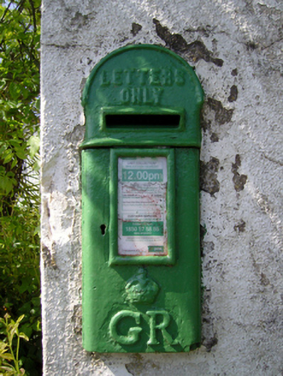 post boxpost box · 165 yd
 Castle (in ruins)Castle, tower house · 214 yd
 kilnkiln · 317 yd
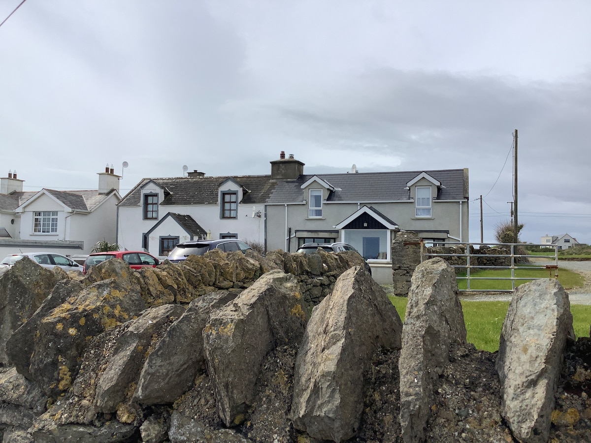 Man-made underground passage in FisherstownMan-made underground passage · 699 yd
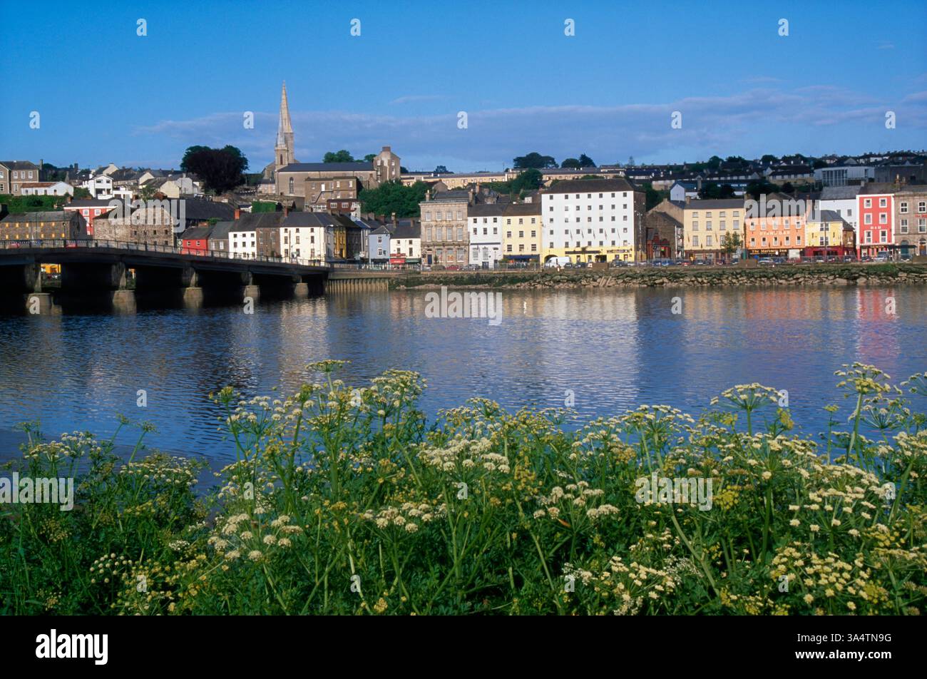 Fulacht FianFulacht fia · 1031 yd
 CastleCastle, tower house · 1554 yd
 Goat IslandIsland · 1.1 mi
 Silver WattleSilver Wattle · 1.7 mi
 Bamboo CollectionVisitor information · 1.8 mi
 Arboretum MapVisitor information · 1.8 mi
 Dunbrody Abbey Visitor CentreHeritage attraction · 1.8 mi
 Dunbrody Abbey Hedge MazeHeritage attraction · 1.8 mi