What is recorded here
Situated at the bottom of a narrow S-N valley with the S-N stream immediately to the W. An area of burnt and broken stone is visible in the section of a drain (L 5.4m; T 0.5m) with a stone-filled pit (L 1.5m; T 0.4m) beneath it.
The above description is derived from the published 'Archaeological Inventory of County Waterford' (Dublin: Stationery Office, 1999). In certain instances the entries have been revised and updated in the light of recent research.
Compiled by: Michael Moore.
Date of upload/revision: 21st December 2010.
Burnt mound in Powersknock is a Neolithic ritual or industrial site, dating to approximately 4000–2500 BCE. Its significance lies in providing evidence of early human activity, possibly related to heat-treated stone processes or ceremonial practices.
The monument record does not grant public access. Check the route and ask the landowner before entering private land.
- What survives
- Recorded monument
Places near here
 Embanked enclosureEnclosure · 508 yd
 Site of CastleCastle, unclassified · 807 yd
 Man-made underground passage in RaheensMan-made underground passage · 811 yd
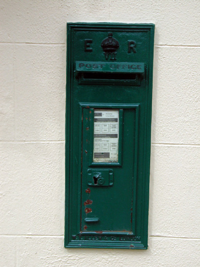 post boxpost box · 964 yd
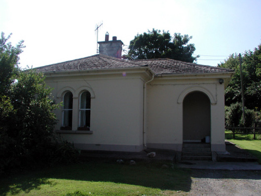 Whitfield Housegate lodge · 1530 yd
 IndicatedBawn · 1.0 mi
 Sweet micheliaSweet michelia · 1.5 mi
 Monterey CypressMonterey Cypress · 1.6 mi
 Mount Congreve GardensHeritage attraction · 1.7 mi
 Waterford & Suir Valley RailwayHeritage attraction · 1.8 mi
 Ballyscanlon HillMountain / peak · 3.8 mi
 St. Martin's WellSpring · 4.6 mi