
What is recorded here
From the National Monuments Service (Archaeological Survey of Ireland) record GA096-137
Places near here
Photo credits
- National Inventory of Architectural Heritage
- Maker not stated on source page, oldmooresalmanac.com
- Maker not stated on source page, commons.wikimedia.org
- Mike Searle, Wikimedia Commons · CC BY-SA 2.0
- Maker not stated on source page, www.pinterest.com
- Maker not stated on source page, monumentalireland.ie
- Maker not stated on source page, www.wildernessireland.com
- Maker not stated on source page, www.dreamstime.com
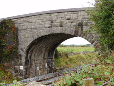 Rockfield BridgeBridge · 1728 yd
Explorer Tom Rockfield Bridge in Clamperpark is a stone giant that refuses to admit it's tired. It would tell its younger self to…
 Moyode Castle (in Ruins)Country house · 1.1 mi
Explorer Tom Moyode Castle has strong opinions about modern buildings, specifically that they all look like cardboard boxes on…
 Bullaun stone (present location) in UnknownBullaun stone (present location) · 1.1 mi
Explorer Tom This Bullaun stone is judging your shoes right now, and let me tell you, they are not passing inspection. It’s got that…
 Moyode CastleCastle · 1.2 mi
Explorer Tom Moyode Castle in County Galway is stuck in a bitter feud with its neighbouring fields over who actually owns the best…
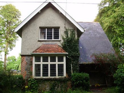 Rockfield HouseGate lodge · 1.3 mi
Explorer Tom Rockfield House has had so many former names it could write its own memoirs about identity crises in the Arts and…
 Fairy fort / stone ringfort in RahardFairy fort / stone ringfort · 1.4 mi
Explorer Tom Fairy fort / stone ringfort in Rahard is a collapsed drystone wall that has been overlain by a field boundary. It’s…
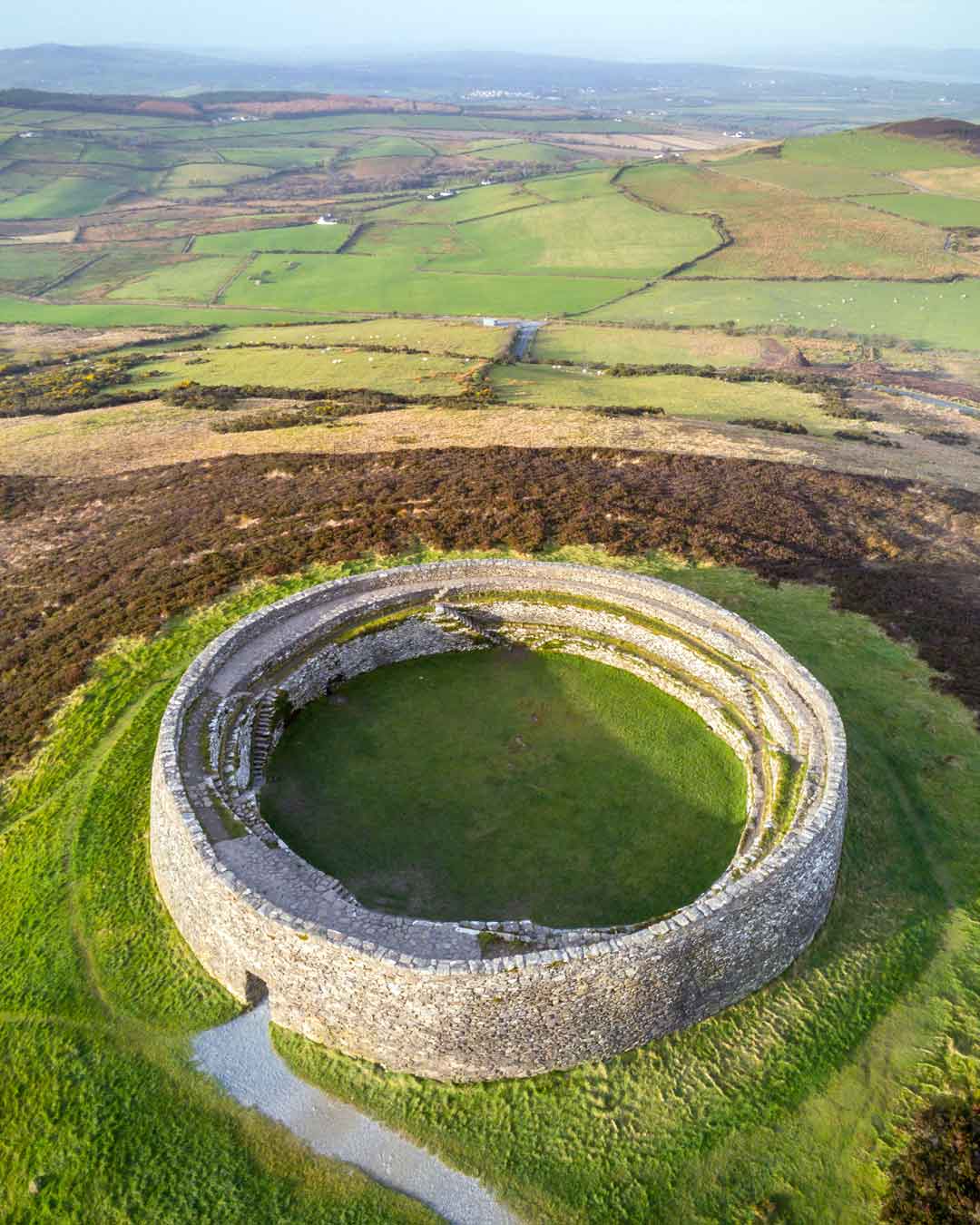 Fairy fort / stone ringfort in Farranablake EastFairy fort / stone ringfort · 1.4 mi
Explorer Tom Fairy fort / stone ringfort in Farranablake East claims to be famous but has no proof. It’s probably just a rock circle…
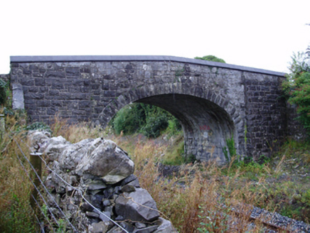 Farranablake BridgeBridge · 1.5 mi
Explorer Tom Farranablake Bridge in Turloughalanger is refusing to collapse because it’s too proud to admit it’s tired. The…
 RockmoreHouse · 1.6 mi
Explorer Tom Rockmore in Farranablake West is showing off its pilasters like it's a Roman emperor on holiday. The builder definitely…
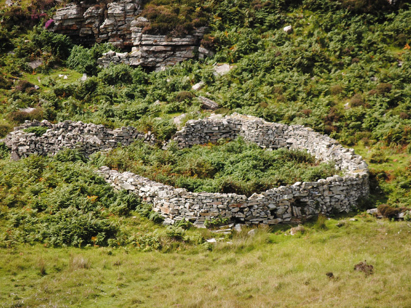 Fairy fort / earthen ringfort in Farranablake EastFairy fort / earthen ringfort · 1.7 mi
Explorer Tom Fairy fort / earthen ringfort in Farranablake East is hiding a barn and a water tank inside its walls. It thinks that…
 New Cemetery AthenryCemetery · 1.8 mi
Explorer Tom New Cemetery Athenry is locked in a bitter feud between two families over who gets the best view of the river. They…
 Rathgorgin Castle (in ruins)Castle, unclassified · 1.9 mi
Explorer Tom Rathgorgin Castle is in a quiet rivalry with a much more famous place down the road, but it’s losing badly. Nobody…
More archaeology and monuments in County Galway · All of County Galway

What do you know about this place?Tap to add a comment or ask a question