What is recorded here
Two small patches of burnt stones (diam. 0.5-1m) were recorded in laying a Bord Gáis pipeline (M. Gowen, fieldnotes).
Compiled by: Michael Moore.
Date of Upload: 4th November, 2010.
A burnt mound; likely dating to the Bronze Age. These features are commonly associated with domestic or ritual activities, though their exact function remains uncertain.
The monument record does not grant public access. Check the route and ask the landowner before entering private land.
- What survives
- Recorded monument
Places near here
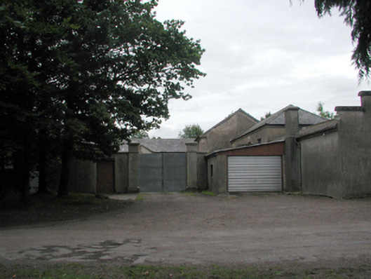 Woodlock Housefarmyard complex · 342 yd
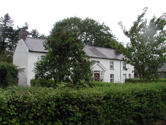 farm housefarm house · 550 yd
 Rockets Castle (in ruins)Castle, tower house · 977 yd
 Portlaw Heritage CentreMuseum · 1154 yd
 Pollrone House (site of)Archaeological place · 1.2 mi
 Hearth in MountboltonHearth · 1.3 mi
 CastleCastle, unclassified · 1.4 mi
 Portlaw WoodForest · 1.6 mi
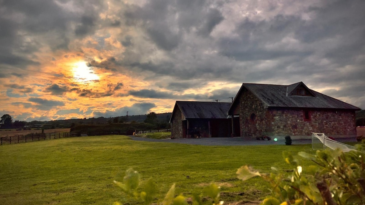 Mount Bolton WoodForest · 1.9 mi
 Donnell's HillMountain / peak · 2.1 mi
 Tower HillMountain / peak · 2.6 mi
 Waterford & Suir Valley RailwayHeritage attraction · 4.1 mi