What is recorded here
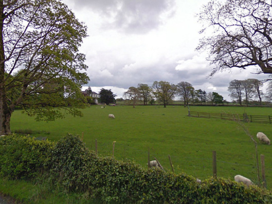
In wet, rush-grown pasture, located adjacent to a well on the 1930 OS 6-inch map.
This partly levelled mound is evident as a low, elongated sod-covered rise (NE–SW; 7-10m NW–SE; c. 15-18m NE–SW), slightly kidney-shaped in plan. The mound has an uneven, irregular surface and is distinguished by a growth of short green grass with field rushes encircling the perimeter. The S edge of the mound has been slightly truncated by a watering hole (diam. c. 6m) encircled by a ring of upcast, dug for farm stock. A fulacht fia (MA111-097----) is located c. 30m to NE.
Compiled by: Jane O'Shaughnessy
Date of upload: 9 March 2023
The monument record does not grant public access. Check the route and ask the landowner before entering private land.
- What survives
- Recorded monument
Places near here
 IndicatedFairy fort / earthen ringfort · 306 yd
 Chapel (ruin)Church · 1374 yd
 Enclosure in BushfieldEnclosure · 1661 yd
 rectory/glebe/vicarage/curate's houserectory/glebe/vicarage/curate's house · 1.1 mi
 Castle (ruin)Castle, unclassified · 1.5 mi
 Bunacrower CastleCastle · 3.2 mi
 SycamoreSycamore · 3.6 mi
 Geoffrey's WoodForest · 3.9 mi
 Land of the GiantsHeritage attraction · 5.2 mi
 Mass RockNamed rock · 10 mi
 Gibbs IslandsIslet · 11 mi
 Easter IslandIslet · 11 mi