What is recorded here
Situated at the base of a S-facing slope bordering a tract of flat, wet pasture. Short, intermittent stretches of burnt stone and charcoal are visible in both sections of a WNW-ESE drain which is overgrown with vegetation. There is a burnt mound (SL019-227----) c. 100m to NW.
Compiled by: Jane O'Shaughnessy
Date of upload: 12 May 2011
The monument record does not grant public access. Check the route and ask the landowner before entering private land.
- What survives
- Recorded monument
Places near here
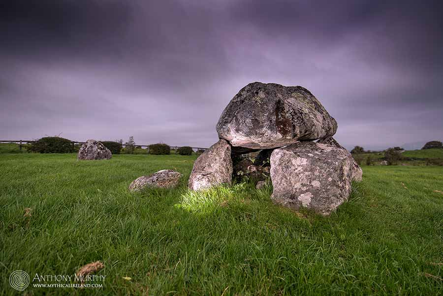 LisdooFairy fort / earthen ringfort · 300 yd
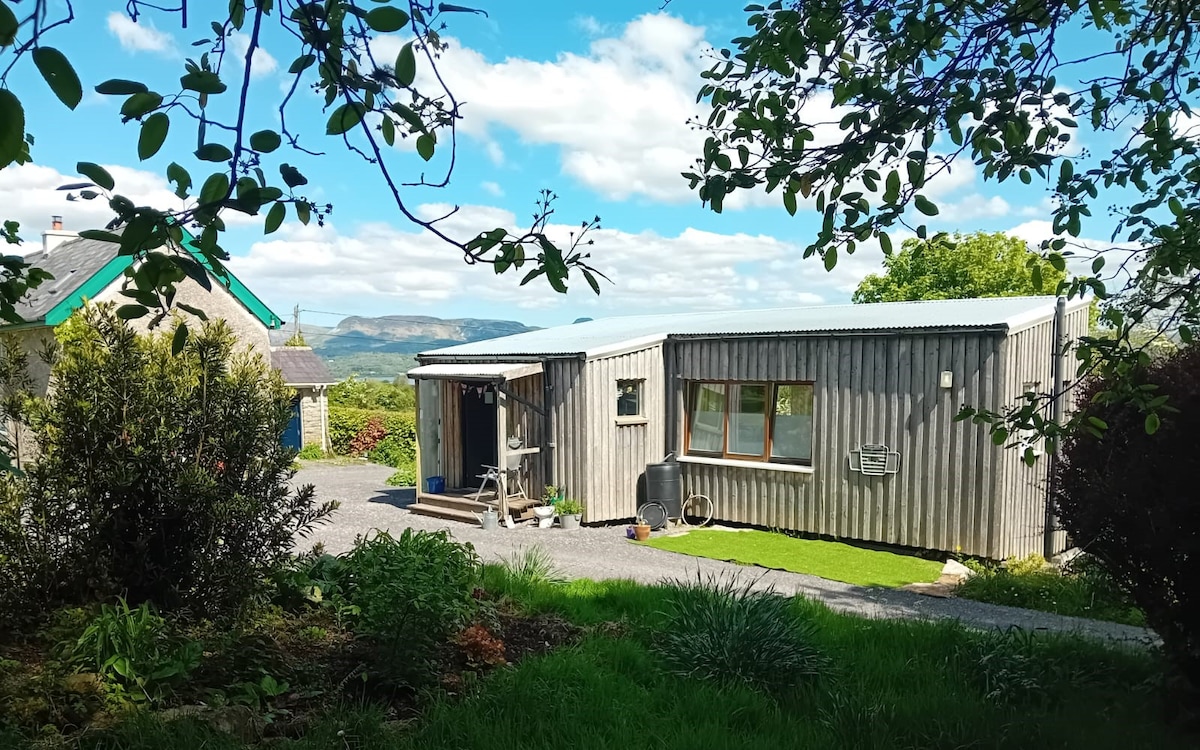 Enclosure in AltanelvickEnclosure · 404 yd
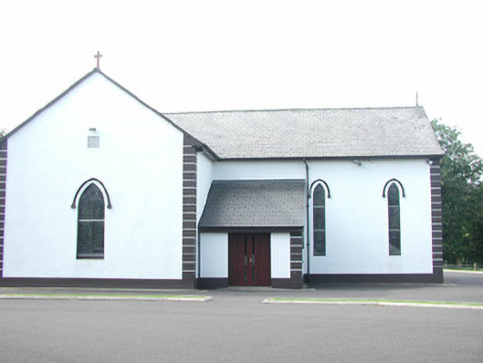 Catholic Church of Saint Peter and Saint Paulchurch/chapel · 1276 yd
 Religious houseReligious house, unclassified · 1294 yd
 European ashEuropean ash · 1333 yd
 Bawn in Longford DemesneBawn · 1.2 mi
 Pigeonpark WoodForest · 1.2 mi
 Giant's GraveArchaeological place · 1.5 mi
 Bawn in Tanrego WestBawn · 1.7 mi
 DoomoreMountain / peak · 2.0 mi
 Derinch PointHeadland · 2.1 mi
 Lahanacappul IslandIslet · 2.2 mi