What is recorded here
The site was uncovered during monitoring/testing in advance of Nenagh Bypasss. A large burnt mound (dims. c.22m x 28m; D 0.9m), situated in low-lying terrain (O'Brien 2000, 197). The site was badly damaged by later activity (ibid.). A fire spot/hearth was uncovered at the SE extremity of the mound spread which produced charcoal (ibid.).
Compiled by: Caimin O'Brien.
Date of upload: 22 September 2008
Burnt mound, Late Neolithic or Early Bronze Age. This site represents a domestic or ritual activity area, significant for understanding prehistoric land use and water management practices in the region.
The monument record does not grant public access. Check the route and ask the landowner before entering private land.
- What survives
- Recorded monument
Places near here
 Enclosure in Ballycahill (kilmore Par., North Riding)Enclosure · 923 yd
 Ballycahill Church (site of)Church · 1068 yd
 Ballycahill Castle (in ruins)Castle, unclassified · 1140 yd
 Tullahedy CastleCastle · 1254 yd
 ShannacloghRuins · 1362 yd
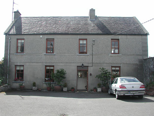 Silver Viewhouse · 1.2 mi
 Nenagh Heritage CentreMuseum · 1.7 mi
 Old BarracksHeritage attraction · 1.9 mi
 Gibbet HillMountain / peak · 2.6 mi
 Sweet ChestnutSweet Chestnut · 3.3 mi
 The MinerMemorial · 3.5 mi
 Our Lady Assumed into HeavenMemorial · 3.5 mi