What is recorded here
Situated on a level landscape. Topsoil stripping (02E0194) in advance of a gas pipeline identified a small burnt stone spread (1A/16/3) that was preserved in situ. It is described as a small area of burnt mound material (dims 2m x 1m). The excavated fulacht fia (ME038-036---) is c. 70m to the SE. (Tobin 2003, 8)
Date of upload: 7 March, 2018
Burnt mound; date uncertain but likely Bronze Age. It represents evidence of ancient domestic or ritual activity, though its specific function remains unclear.
The monument record does not grant public access. Check the route and ask the landowner before entering private land.
- What survives
- Recorded monument
Places near here
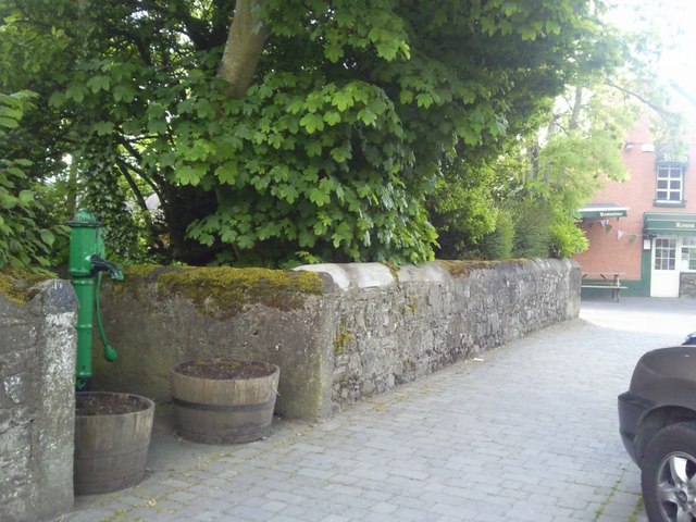 Enclosure in RatoathEnclosure · 1.4 mi
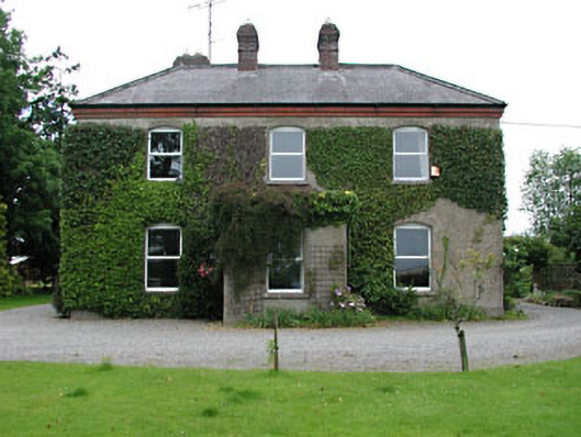 Park Househouse · 1.7 mi
 Church (Site of)Church · 1.7 mi
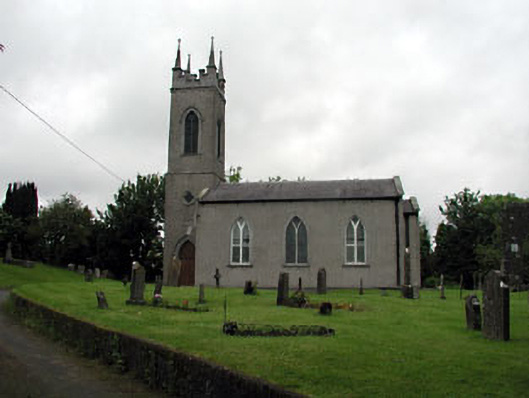 Saint Seachnall's Church (Dunshaughlin)church/chapel · 1.7 mi
 MoatCastle, motte and bailey · 1.9 mi
 Lemur WoodWood · 2.2 mi
 Emerald ParkHeritage attraction · 2.3 mi
 Macetown CastleCastle, tower house · 3.7 mi
 Newtown HillMountain / peak · 4.0 mi
 The Pond WoodWood · 4.5 mi
 Lismahon 1798 MemorialMonument · 4.6 mi
 Candle HillMountain / peak · 4.8 mi