What is recorded here
'A crescentic mound, measuring 22m E-W and 15m N-S. The mound is located adjacent to a stream that runs parallel to the site, 25m to the north. Burnt shattered stone and charcoal blackened soil is visible where animals have eroded the base of the mound. The mound remains to a height of 1.1m and the trough area, measuring 6.5m N-S and 5.9m E-W opens to the north, towards the stream.'
Description from ‘The Prehistoric Settlement of the Lee Valley, Tralee, Co. Kerry; A Landscape Perspective’ by Michael Connolly. PhD Thesis UCC 2008
Date of upload: 09 July 2012
Burnt mound in Knockavinnane is a Neolithic ritual or industrial site, dating to approximately 4000–2500 BCE. Its significance lies in providing evidence of early human activity, possibly related to heat-treated stone processes or ceremonial practices.
The monument record does not grant public access. Check the route and ask the landowner before entering private land.
- What survives
- Recorded monument
Places near here
 Field system in BallymacthomasField system · 612 yd
 Enclosure in BallymacthomasEnclosure · 831 yd
 Kilquane Church (in Ruins)Church · 1082 yd
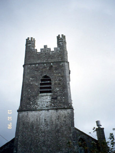 Ballymacelligott Churchchurch/chapel · 1316 yd
 PoulatouirtCave · 1418 yd
 Site of McElligotts CastleCastle, unclassified · 1542 yd
 Poulclashcannon (blocked)Cave · 1703 yd
 IndicatedCastle, unclassified · 1708 yd
 Common AlderCommon Alder · 1.3 mi
 Monument WoodWood · 1.7 mi
 Civil War MemorialMemorial · 3.5 mi
 CruslineMountain / peak · 3.7 mi