What is recorded here
Situated in pasture on a W-facing slope overlooking a S-N stream, which is c. 150m to the W. There is local information on a burnt mound. It is not visible at ground level in pasture.
Compiled by: Michael Moore
Date of upload: 26 October 2010
A burnt mound, likely dating to the Bronze Age, associated with domestic or ritual activities involving heat. Its significance lies in providing evidence of prehistoric land use and seasonal habitation patterns in the region.
The monument record does not grant public access. Check the route and ask the landowner before entering private land.
- What survives
- Recorded monument
Places near here
 KnockeenMountain / peak · 832 yd
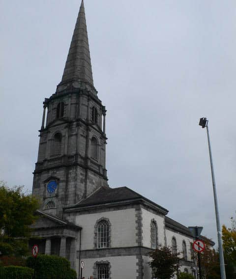 Church in KilkeanyChurch · 1044 yd
 Milk HillMountain / peak · 1650 yd
 Fulacht fia in Tooreen EastFulacht fia · 1.0 mi
 IndicatedEnclosure · 1.1 mi
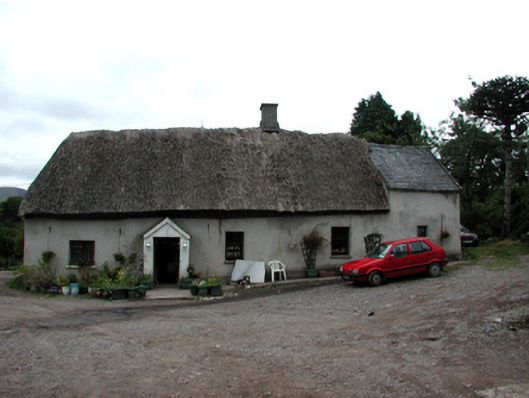 Shanballyanne Cottagehouse · 1.1 mi
 Site of CastleCastle, unclassified · 1.7 mi
 Turraphuca WoodForest · 1.7 mi
 Knocknaree WoodForest · 2.0 mi
 Siglloges LoopWalking route · 3.4 mi
 Coumlara LoopWalking route · 3.6 mi
 Mahon ValleyCliff · 4.0 mi