What is recorded here
In pasture, in a wet area covered by rushes at the foot of a gentle W-facing slope. A roughly circular mound (9m N-S; 8m E-W; H 0.5m) of heat-shattered stones and charcoal-enriched soil.
The above description is derived from 'The Archaeological Inventory of County Cork. Volume 5' (Dublin: Stationery Office, 2009).
Date of upload: 22 December 2009
Burnt mound, likely dating to the Neolithic or Early Bronze Age. These features are commonly associated with ritual or industrial activities, such as the preparation of animal hides or ceremonial practices involving heat.
The monument record does not grant public access. Check the route and ask the landowner before entering private land.
- What survives
- Recorded monument
Places near here
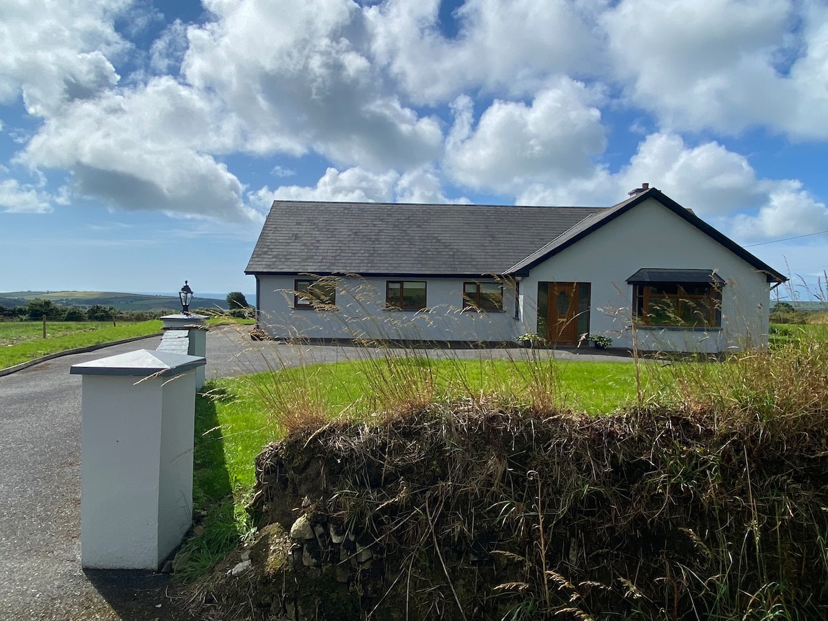 Hut site in Kilnahera WestHut site · 257 yd
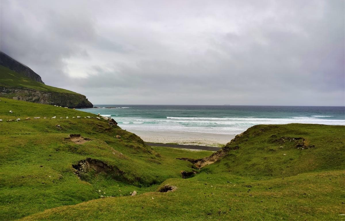 Fulacht fia in Kilnahera WestFulacht fia · 501 yd
 Milane HillMountain / peak · 1.9 mi
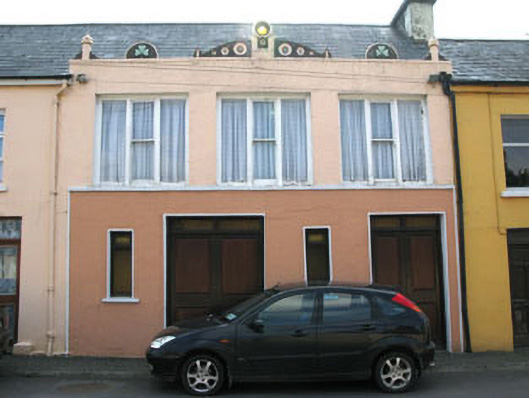 shop/retail outletshop/retail outlet · 2.0 mi
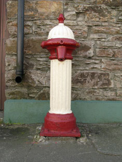 water pumpwater pump · 2.1 mi
 Drimoleague Heritage Loop WalkWalking route · 2.2 mi
 Moyny Bridge WalkWalking route · 2.5 mi
 Pookeen North TopMountain / peak · 3.2 mi
 Graveyard in ToughmacdermodyGraveyard · 3.3 mi
 Castle DonovanCastle · 3.4 mi
 Castle Donovan (in Ruins)Castle, tower house · 3.4 mi
 Mohona WoodWood · 4.7 mi