What is recorded here
Situated on a slight E-W rise, c. 230m S of the W-E River Suir. Burnt mound material was first identified in centre-line testing (02E0441) for the N 25 Waterford city by-pass during 2002 (O'Neill 2004b), and excavated (03E0365) during 2003 as Killoteran 3 (Clarke 2006c). It consisted of a widely dispersed spread (dims. 12m N-S; 7m E-W; T 0.06-0.3m) overlying two small pits (dims. 1.23m x 0.83m; D 0.23m: 0.92m x 0.8m; D 0.28m) and one irregularly oval pit (2.87m NW-SE; 1.2m NE-SW; D 0.1-0.4m) with some post-holes and stake-holes (Clarke 2003, 14-8). There was no recognisable trough, although the largest pit may have functioned as one, and all the pits contained some burnt stone. (Clarke and Ginn 2011a)
Clarke, L. (2003) Interim report on the archaeological resolution of Killoteran 3. Unpublished report. DOEHG. Archaeological Consultancy Services.
Clarke, L. (2006c) Killoteran 3. Fulacht spread in I. Bennett (Ed.) Excavations 2003: summary accounts of excavations in Ireland, P 500, No. 1886. Wordwell. Bray.
Clarke, L. and V. Ginn (2011a) Killoteran 3, Co. Waterford. in J. Eogan and E. Shee-Twohig (2011) Cois tSiúire – nine thousand years of human activity in the lower Suir valley. Archaeological excavations on the N25 Waterford city bypass, vol. 2, 10-11. NRA road scheme: Monograph 8, Dublin
O'Neill, T. (2004b) Ballyduff East/Killoteran/Woodstown/Knockhouse Upper/Gracedieu West. Assessment. in I. Bennett (Ed.) Excavations 2002: summary accounts of excavations in Ireland, 486-7, No. 1781. Wordwell. Bray.
Compiled by: Michael Moore
Date of upload: 19 January 2011
Burnt mound in Killoteran is a Bronze Age ritual or industrial site, characterized by the presence of heat-shattered stones and organic remains. Its significance lies in providing evidence of early land use and possible ceremonial activity in the region.
The monument record does not grant public access. Check the route and ask the landowner before entering private land.
- What survives
- Recorded monument
Places near here
 Enclosure in Woodstown (middlethird By., Killoteran Par.)Enclosure · 402 yd
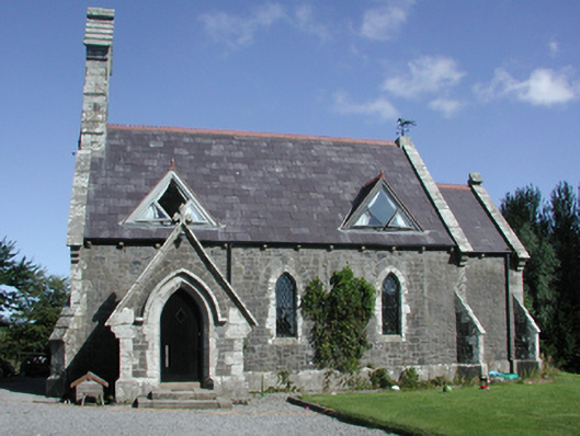 Killoteran Churchchurch/chapel · 479 yd
 Viking settlement siteArchaeological place · 700 yd
 Kiln in Woodstown (middlethird By., Killoteran Par.)Kiln · 760 yd
 Mount Congreve GardensHeritage attraction · 1054 yd
 Monterey CypressMonterey Cypress · 1578 yd
 Sweet micheliaSweet michelia · 1702 yd
 CastleCastle, unclassified · 1.3 mi
 Corluddy Castle (in Ruins)Castle, tower house · 1.5 mi
 Waterford & Suir Valley RailwayHeritage attraction · 2.0 mi
 Sugar Loaf RockMountain / peak · 2.6 mi
 St. Martin's WellSpring · 6.8 mi