What is recorded here
In pasture, on an E-facing slope. A possible burnt mound (5.2m N-S; 4.4m E-W), described as consisting of stony earth but with soil not as dark as that of another possible burnt mound (CO063-100----) c. 250m to the NE, was noted here in 1995 (SMR file). This possible burnt mound could not be located in 2002 or in 2008 though the field was in pasture on both occasions.
The above description is derived from 'The Archaeological Inventory of County Cork. Volume 5' (Dublin: Stationery Office, 2009).
Date of upload: 22 December 2009
The monument record does not grant public access. Check the route and ask the landowner before entering private land.
- What survives
- Recorded monument
Places near here
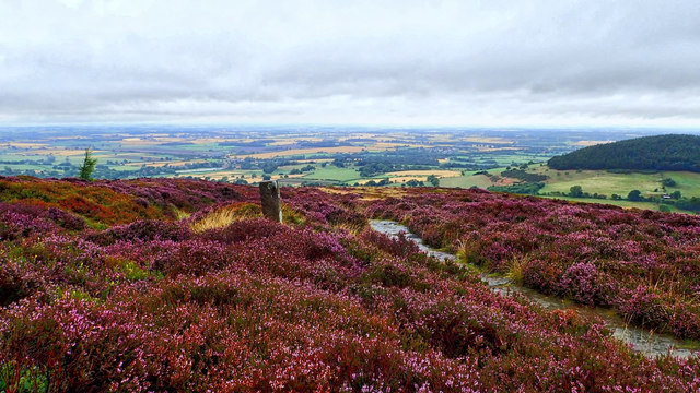 Burnt mound in KilleendanielBurnt mound · 269 yd
 Kilcully Church (in Ruins)Church · 711 yd
 Old Cemetery KilcullyMemorial · 741 yd
 Castle (Site of)Castle, unclassified · 1220 yd
 farm housefarm house · 1452 yd
 Murphy's RockViewpoint · 1.1 mi
 Man-made underground passage in Ballincrokig (cork By., St. Anne’s Shandon Par.)Man-made underground passage · 1.4 mi
 Delaney Brothers MonumentMemorial · 1.6 mi
 Dublin HillViewpoint · 1.8 mi
 Mashanaglass Castle (in Ruins)Castle, tower house · 19 mi
 Ummera WoodWood · 19 mi
 Seefin East TopMountain / peak · 19 mi