What is recorded here
In a field of rushes, at the base of a slope and immediately SW of a well. A low roughly circular grass-covered rise (c. 10m N-S; c. 13m E-W; H 0.6-0.8m). The soil is noticeably stony and incorporates some small pieces of iron slag. A rath (SL047-08401-) lies c. 100m to NW and an enclosure (SL047-084002-) lies c. 80m to N. There is a field system (SL047-084003-) to N.
The above description is derived from the published 'Archaeological Inventory of County Sligo' compiled by Ursula Egan, Elizabeth Byrne, Mary Sleeman with Sheila Ronan and Connie Murphy (Dublin Stationery Office, 2005).
Date of upload: 18 January 2008
Burnt mound in Killaraght is a Bronze Age ritual or industrial site, likely used for heat-related activities such as cooking, hide processing, or ceremonial purposes. Its location near a water source and on a slope suggests strategic use of the landscape for functional or symbolic reasons.
The monument record does not grant public access. Check the route and ask the landowner before entering private land.
- What survives
- Recorded monument
Places near here
 Religious houseReligious house, unclassified · 712 yd
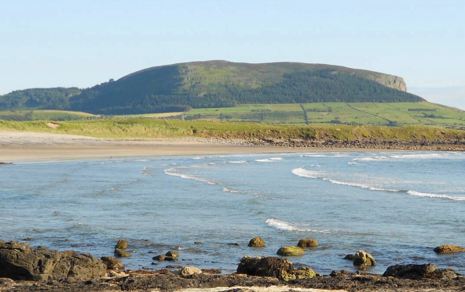 ToberaraghtHoly well · 737 yd
 Embanked enlcosureFairy fort / earthen ringfort · 984 yd
 Boyle NunneryChurch · 2.6 mi
 King William MemorialMonument · 3.5 mi
 Boyle AbbeyHeritage attraction · 3.6 mi
 Rose PointHeadland · 3.7 mi
 Gray's WoodForest · 3.8 mi
 Square WoodForest · 3.8 mi
 Castle (in Ruins)Castle, unclassified · 3.9 mi
 Inch IslandIslet · 3.9 mi
 Castle PointHeadland · 4.0 mi