What is recorded here
Located towards the head of a N-S valley with a NE-SW stream c. 10m to the SE. A subcircular area of burnt stone and blackened earth (dims c. 10.5m NE-SW; 9m NW-SE) is visible when the area is ploughed. Burnt mound (WX044-035002-) is c. 30m to the E.
The above description is derived from the published 'Archaeological Inventory of County Wexford' (Dublin: Stationery Office, 1996). In certain instances the entries have been revised and updated in the light of recent research.
Compiled by: Michael Moore
Date of upload/revision: 17 June, 2013
Burnt mound, likely dating to the Bronze Age. Its significance lies in its association with ritual or industrial activities, common features of such sites in prehistoric landscapes.
The monument record does not grant public access. Check the route and ask the landowner before entering private land.
- What survives
- Recorded monument
Places near here
 St. Margarets WellHoly well · 1106 yd
 Fulacht FianFulacht fia · 1130 yd
 Kilhile Housesteward's house · 1382 yd
 Kilhile Castle (in ruins)Castle, tower house · 1443 yd
 Nook BayBay · 1.0 mi
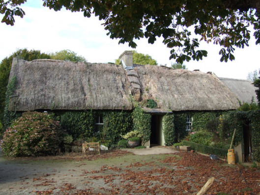 farm housefarm house · 1.1 mi
 Dunbrody Abbey Hedge MazeHeritage attraction · 1.2 mi
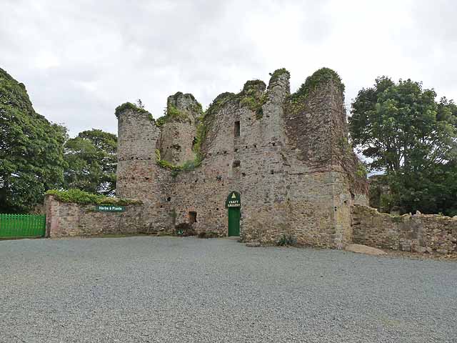 Dunbrody CastleCastle · 1.2 mi
 Dunbrody Abbey Visitor CentreHeritage attraction · 1.2 mi
 Catherine's BayBay · 1.3 mi
 Campile WWII Bombing MemorialMemorial · 1.5 mi
 Arthurstown BeachBeach / strand · 1.6 mi