What is recorded here
Situated towards the head of a SW-NE valley. Archaeological testing (08E0415) uncovered two small areas of burnt mound material (dims 1m x 1.15m; T 0.05m; 0.4m x 0.5m; T 0.08m) located 2m apart, which were completely excavated. (O'Hara 2008; 20011)
Compiled by: Michael Moore
Date of upload: 10 August, 2012
Burnt mound (fulacht fiadh), likely dating to the Bronze Age. These features are significant as they provide evidence of prehistoric activity, possibly related to cooking, hide-scalding, or ritual practices.
The monument record does not grant public access. Check the route and ask the landowner before entering private land.
- What survives
- Recorded monument
Places near here
 ToberchreestHoly well · 241 yd
 Gorey HillMountain / peak · 341 yd
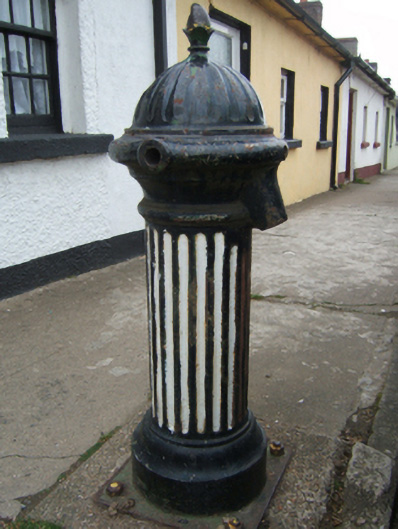 water pumpwater pump · 876 yd
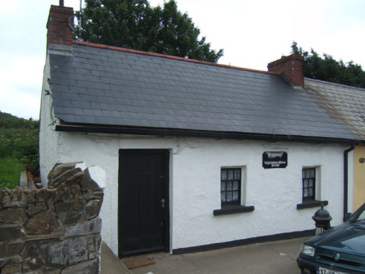 Bygones""house · 880 yd
 1798 MonumentMemorial · 926 yd
 Fulacht fia in Ramstown LowerFulacht fia · 1117 yd
 Market HouseHeritage attraction · 1540 yd
 Carriganeagh RockMountain / peak · 1.9 mi
 Ballingarry WoodForest · 2.2 mi
 Barnadown WoodWood · 3.2 mi
 Saint Brigid's WellSpring · 5.5 mi
 Blue SchoolMemorial · 6.6 mi